The spectacular sandstone battlements of the Kennedy Range are in fact a huge mesa, pushed up from an ancient sea bed.
This is a recounting of a crossing of the Range from Mount Sandiman on the east to Mooka Station on the west.
After ascending the ‘western battlements’ the route was south along the edge of the escarpment before crossing the Range and dropping down to the west side.
The climb up to the top of the Kennedy Range was no real challenge, even with a trailer. The track is clearly delineated and no test of navigation. The scenery at the edge of the mesa is spectacular.
Naming
The first European to explore the area was Francis Thomas Gregory (1821-1888) whose expedition reached the range in 1858. Gregory named the range after the Governor of Western Australia at the time, Arthur Edward Kennedy (1810-1883).
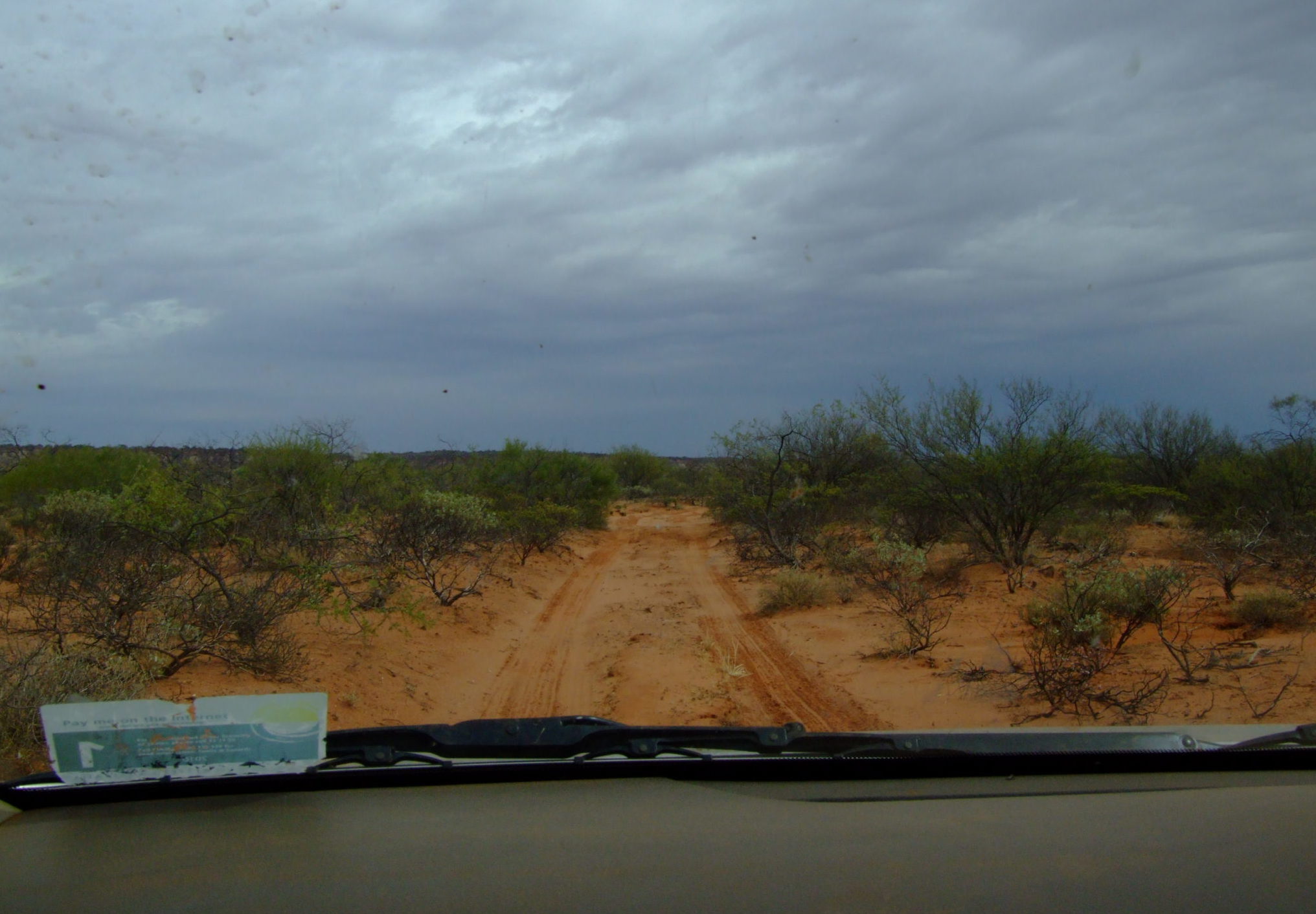
- Track from homestead towards the Range.
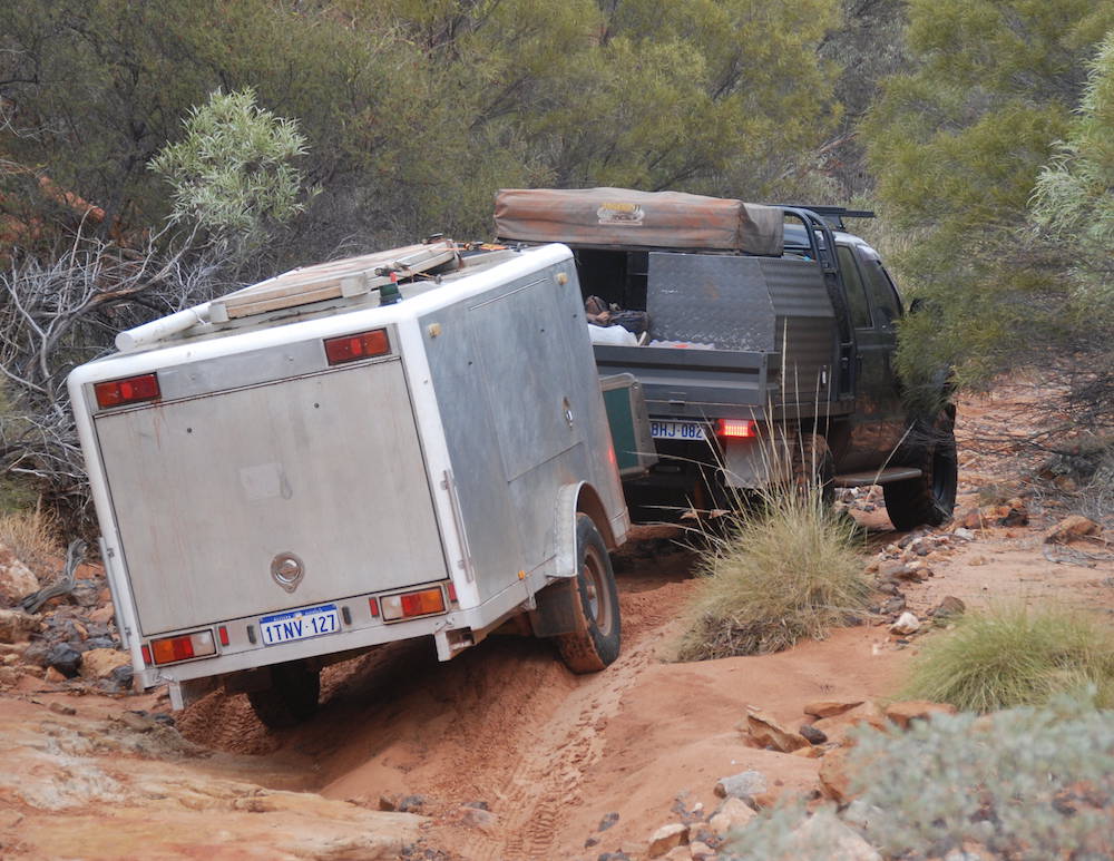
- Climbing to to the top of the mesa from the east.
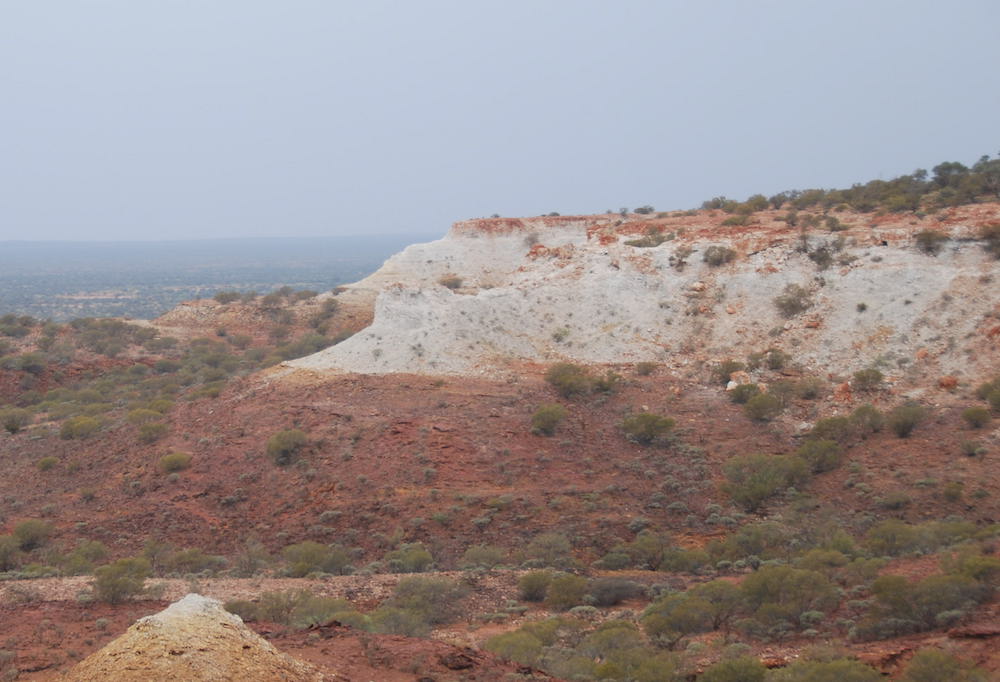
- Like a giant breakaway.
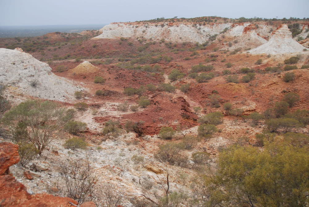
- Contrasting colours.

- Vertical escarpment.

- Spectacular re-entrants.
The rocks that comprise the Range were originally deposited beneath the ocean, compressed to form sandstone, then faulted, uplifted and tilted towards the west.
Over the past 150 million years this uplifted plateau eroded into an isolated range that is today known as the Kennedy Ranges. It extends 75 kilometres in a northerly direction from near Gascoyne Junction. The plateau varies in width between 12 and 25 kilometres.
The sedimentary rock of the eastern escarpment has evidence of fossilised marine creatures. The red sand dunes on the top of the range are thinly covered with shrubland and spinifex grassland. The western side of the range is lower, not as steep as the east ‘battlements’ and more extensively dissected by watercourses than the east. Spring water trickling from the range creates numerous oases along the margin.

- Outlier.
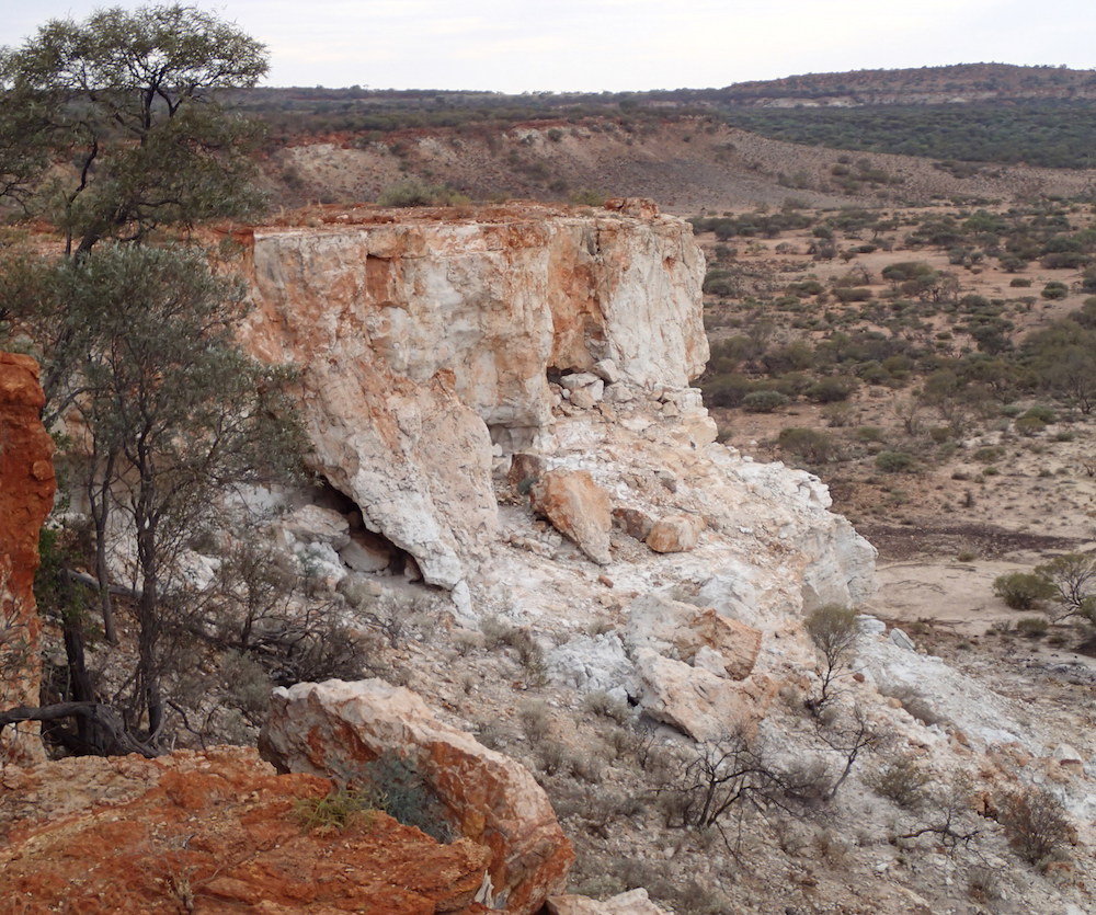
- Edge of the mesa.
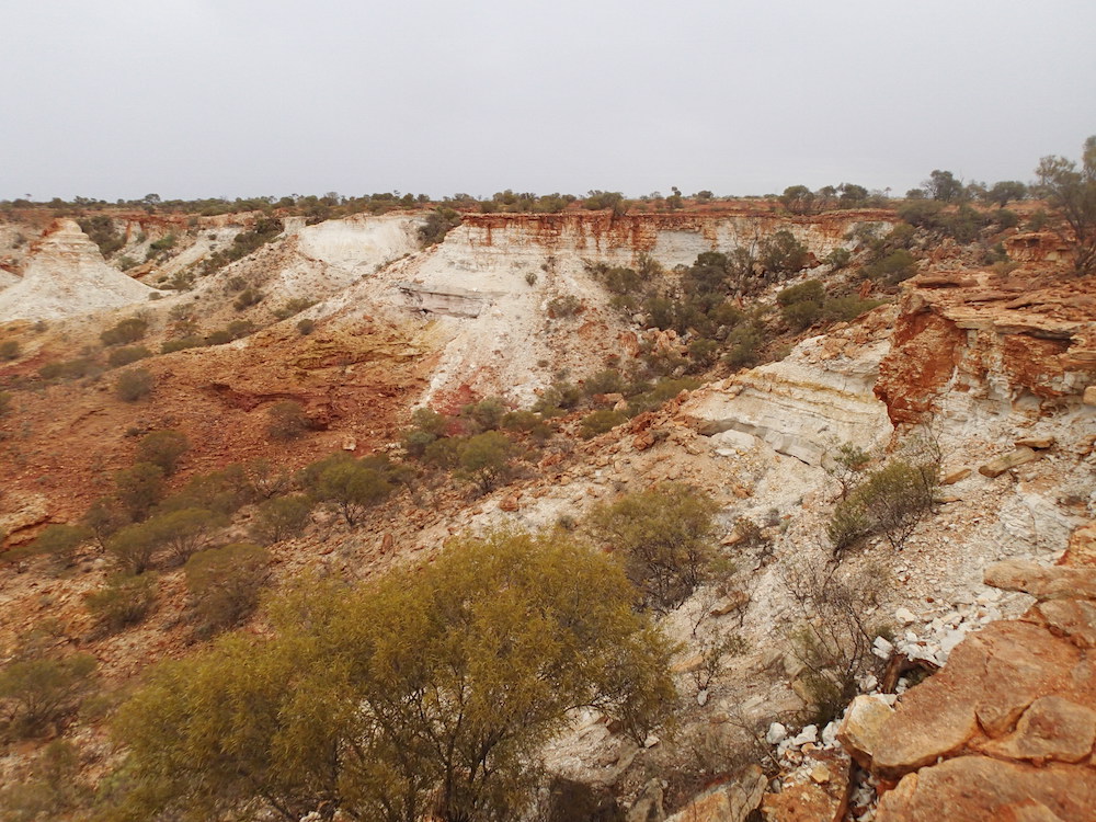
- Edge of the Range.

- The precipice on the eastern side of the range.
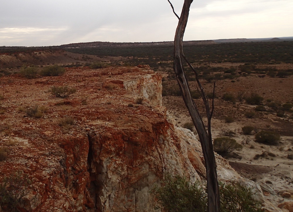
- Eastern side of the Kennedys.
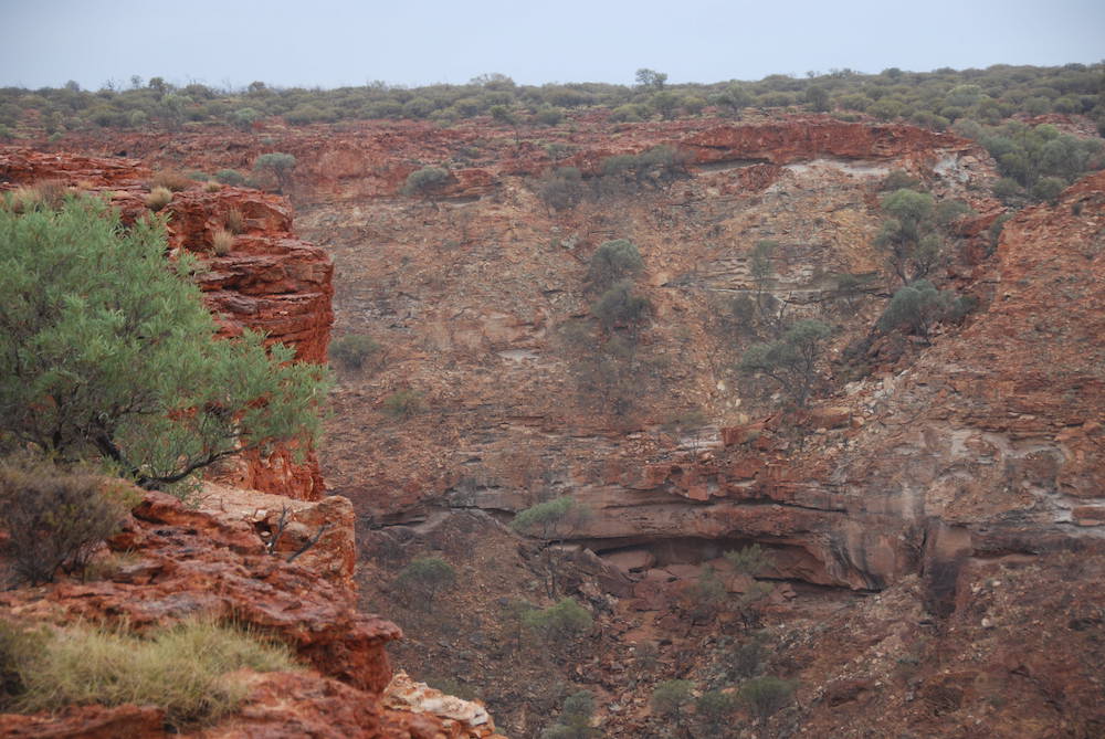
- High cliff.
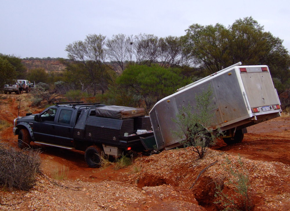
- Good articulation.
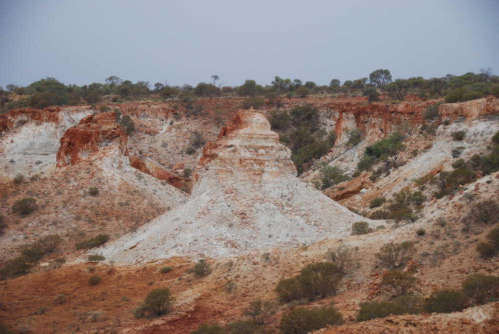
- The effects of erosion.
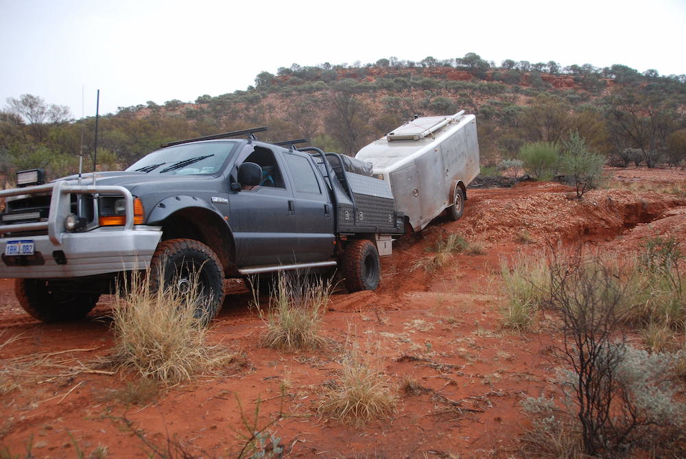
- Challenging.
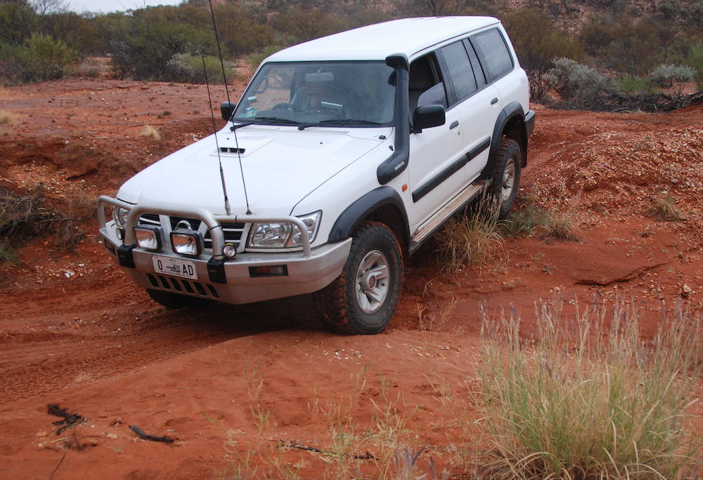
- Plenty of gutters and washaways like this.
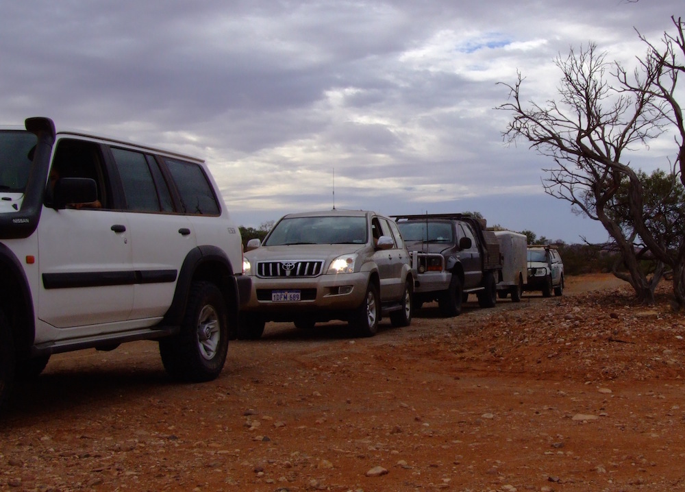
- Lineup.
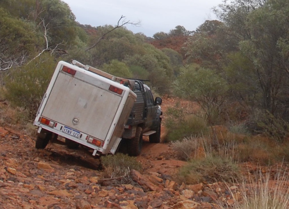
- Descending on the west side
On Mooka Station
All was going well until the rain arrived. At first it was just annoying but as we descended the plateau and progressed closer to Mooka Station the creeks were rising and the gullies were gushing. Water spread everywhere.

- The first sign that we may have a problem.
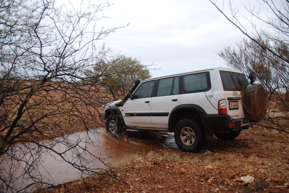
- In the time it took to get back to the vehicle from the previous photo the water had risen.
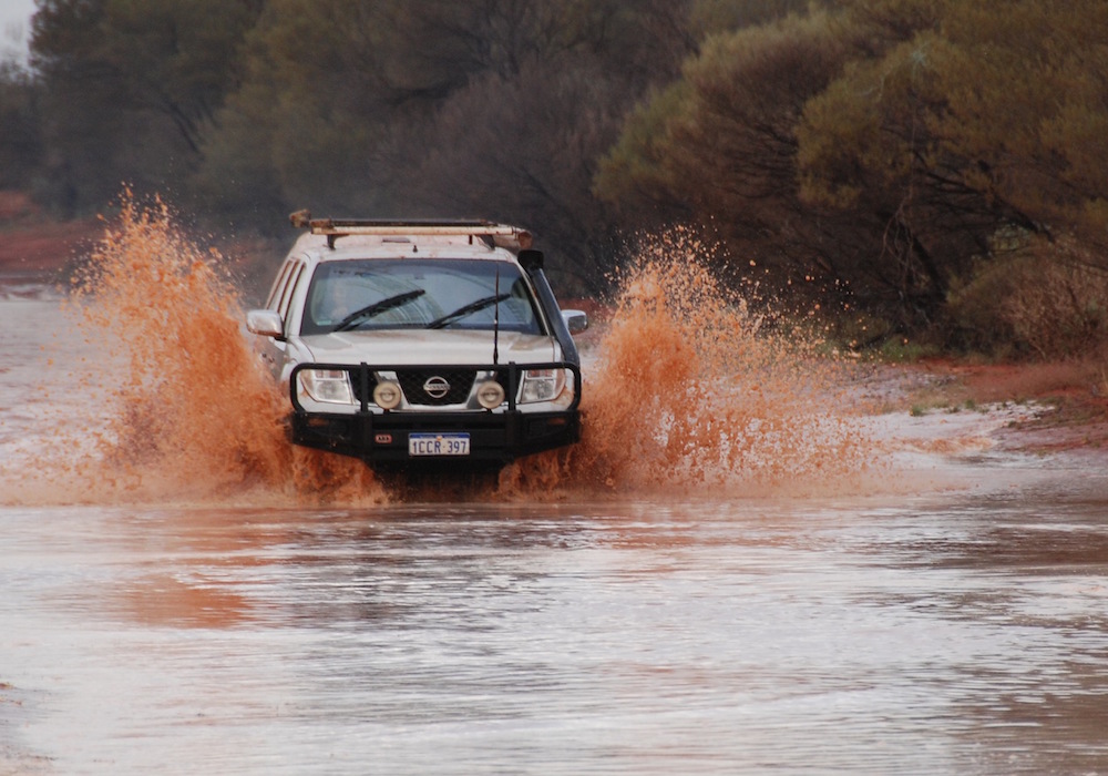
- Lots of these.
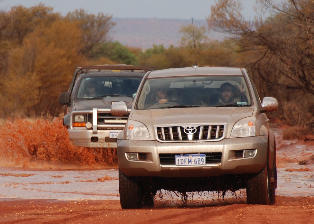
- F250 ploughing through.

- The slop was no match for the F250’s power.
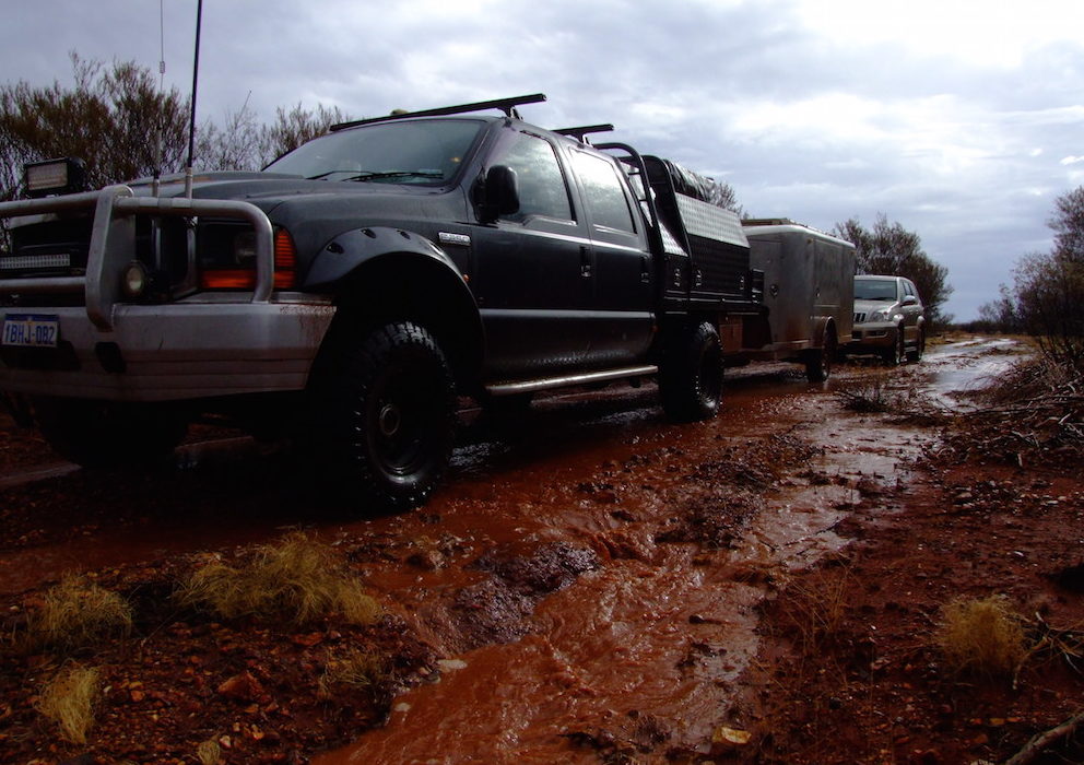
- Towing the Silver Bullet through mud was easier with the F250.
Dash to the West
It was clearly time to get out. At Binthalya we made a dash to the westward.

- Old Binthalya homestead, ten kilometres west of the Kennedy Range.
Download GPX file – 0034 – Kennedy Range Mount Sandiman to Binthalya
© Kim Epton 2026
524 words written entirely by the author, not AI.
25 photographs.
You are welcome to use any part of this document. Please attribute wellsandtracks.com.au.au — it will help your site’s SEO as well as that of wellsandtracks.com.au.au
See Terms of Use.