Location
459 kilometres (straight line) ENE of Perth.
515 kilometres from York along the Hunt Track.
58 km south-west (straight line) from Coolgardie.
It is in the Goldfields Woodland National Park.
GPS Coordinates
UTM
51J
274110 metres East
16547043 metres North
DMS
30°1'1.20"S
120°37'46.01"E
Decimal Degrees
-31.189
120.629
Directions
From Hunt Track
Depart Woolgangie and turn left onto Great Eastern Highway. Drive 170 metres and turn off the highway at an unnamed track (51J 267938mE 16548868mN/31°11'20.42"S 120°37'46.32"E) and travel seven kilometres ESE.
From Great Eastern Highway
Turn off the highway at an unnamed track (51J 267951mE 16548873mN/31°10'16.28"S 120°33'55.03"E) and travel seven kilometres ESE.
This is not one of Hunt's Wells.
Condition
The well is at the southern end of the rock close to the 'carpark' from where people walk up the rock. It is not one of Hunt's Wells.
Authority
Shire of Coolgardie
Sylvester Street
Coolgardie WA 6429
9080 2111
Parks and Wildlife Service - Goldfields Region
32 Brookman Street
Kalgoorlie WA 6430
9080 5555
History
This is a pioneer well about which little is known.
-

- Well at Yerdanie Rock.
-

- Yerdanie Rock
-
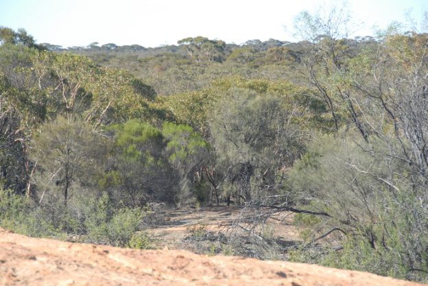
- View from near the top of Yerdanie Rock.