The Plan
The plan for this mid-week Trip was to confirm the location of Koorkoordine Well, find Hunt’s Boorabbin Well, find a secondary well/soak at Boorabbin, visit Yerdanie Well, confirm a section of the Hunt Track from the east of Gnarlbine Rock to the west, and find a lost soak on the west side of Gnarlbine Rock.
All features were found, making it a very successful venture.
Heading East
Scott Overstone, Kerry Davies and I headed east on Sunday morning, stopping just east of Burracoppin at the site where the No. 1 Rabbit Proof Fence crossed in days past.
- The No.1 Rabbit Proof was built 1901-07. It ran from Starvation Boat Harbour 1833 kilometres to Cape Keraudren, creating the world’s longest fence.
We turned off the Highway at Noongar, heading to Moorine Rock. In June 2021 we refurbished Hunt’s Wells at Moorine Rock and Kodjerning and this was a good opportunity to check on them.
- Moorine Rock Well
- The well retains water.
- The fence is solid.
- Kodjerning Well is now in good condition.
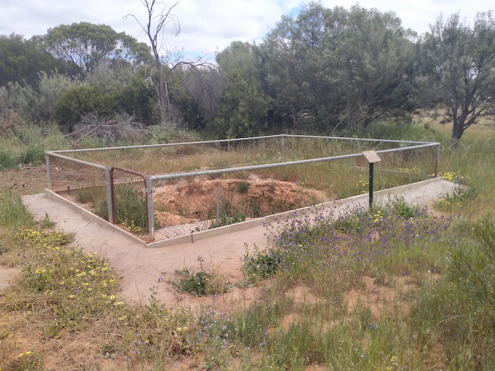
Local roads took us to Lake Kookoordine, seven kilometres north of Southern Cross. We wanted to confirm that the location of Hunt’s Well at Kookoordine was correctly identified. Hunt described the well as being “(8) chains from the base of a granite rock, eastern side”. Our investigations confirmed this to be reasonably accurate. A more detailed description of a rock two chains to the north-west of the well was also confirmed as accurate.
- A gully leads from a hill (now the 18th Tee of the golf course) to Hunt’s Well on the edge of Lake Koorkoordine.
- Hunt’s Well at Koorkoordine.
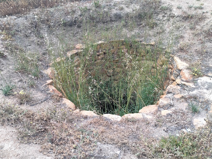
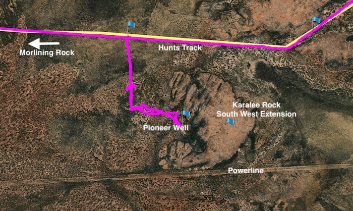
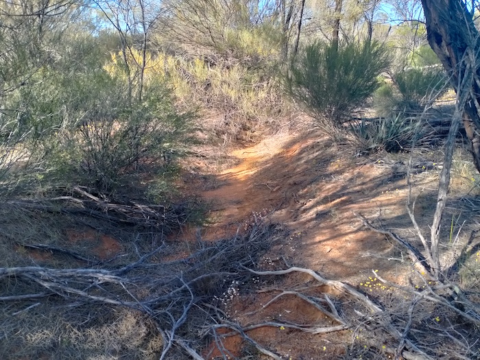
We left Southern Cross and refuelled at Yellowdine before turning in to the pumping station at Karalee. A newly-made track allowed access to the Hunt Track adjacent to Morlining Rock. Two kilometres east we located a very overgrown track that took us south towards the south-west extension of Karalee Rock where I had pinpointed a pioneer well from reference to satellite images. The drive in was tough and once adjacent to the predicted position of the well we got out of the vehicles and walked to the well.
- Track to Pioneer Well at Karalee.
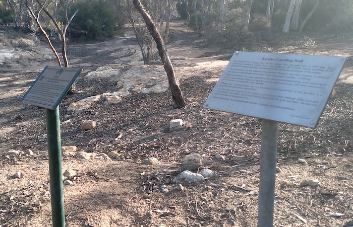
At Karalee we just checked on the two signs that we positioned/repositioned in early August 2021 and continued on towards Koorarawalyee.
- The Bicentennial sign was relocated from Karolin Rock to Hunt’s Dam at Karalee Rocks and the sign next to it explained why.
We spent some time between the Vermin Proof Fence and the Gilgai Pumping Station searching for evidence of the wooden pipeline that was in use around the time of the Great Depression. Concrete plinths, wooden staves and loops of thick retaining wire are in abundance. Daylight was slipping away and it was time to head to the planned overnight stop at Boorabbin.
At Boorabbin
Early in the morning we searched for an overgrown well/soak in an area identified for us by researcher Eric Hancock.
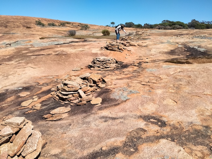
- These harvest walls direct water from the northern part of Boorabbin Rock into channels that lead to the well.
- Quandong tree in fruit.
- A channel leading to the soak.
- An earthen channel leads to the same soak.
- An overgrown channel.
- The well/soak at Boorabbin is virtually inaccessible.
We then walked to the top of Boorabbin Rock.
- These small cairns were used to hold up fence posts.The fence was to keep animals out of the water supply.
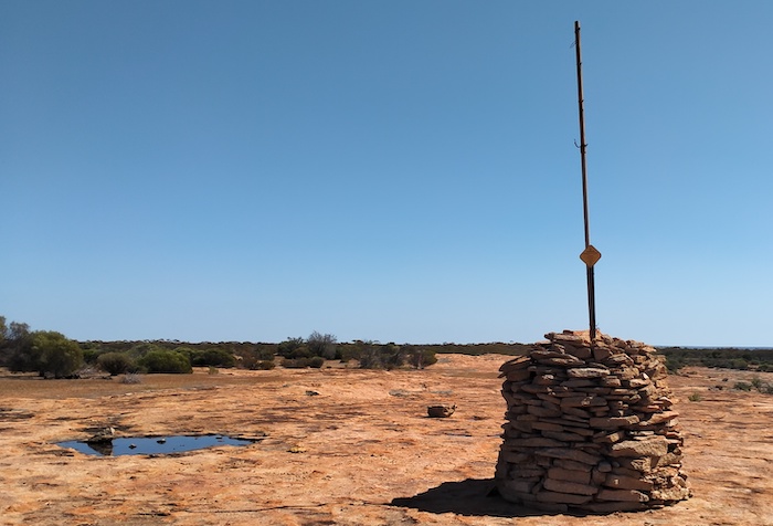
- Cairn and Survey Mark atop Boorabbin Rock.
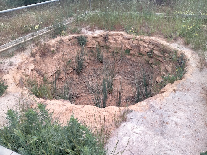
It was time to find Hunt’s Well, again in a defined area. We gridded the search area and spent a few hours thoroughly dissecting it.
- Hunt’s Well at Boorabbin.
The Hunt Track follows the current day pipeline from Koorarawalyee to within about four kilometres of Boorabbin Rock, at which point the pipeline deviates due east. The Track enters Boorabbin Rock at the northern end. We decided to follow it to the west.
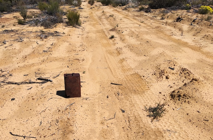
- Rusted fuel can on the Track.
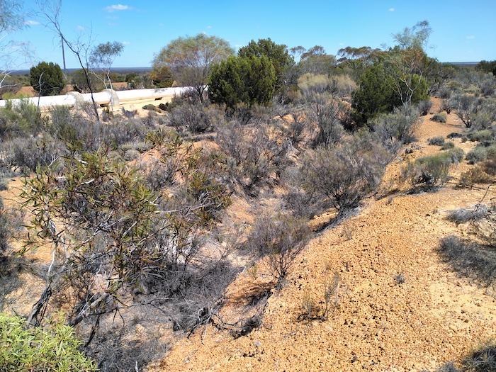
- The current day pipeline next to the trench in which the pipeline of former years was laid.
- On Hunt Track.
- Abandoned Southern Cross to Coolgardie Railway.
- On the Hunt Track.
Our tasks at Boorabbin were completed ahead of time so we packed and headed to the highway.
Hunt Track
After checking out Hunt’s Well at Yerdanie Rock we continued east along the Hunt Track. A directional sign at the Rock was missing, as were a few others along the way. Not many vehicles have been using the Track between Yerdanie and Gnarlbine.
- Hunt’s Well at Yerdanie. This was one of his ‘walk in’ wells.
Gnarlbine Rock
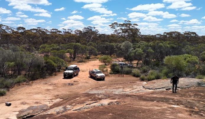
As we approached Gnarlbine Rock West the way was blocked by two fallen trees which in any case was of no import because the Track finished just beyond them. We turned around and drove to Gnarlbine Rock East where we followed the Track west around the base of the rock and found a pleasant campsite.
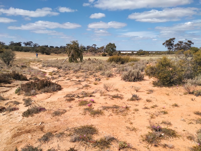
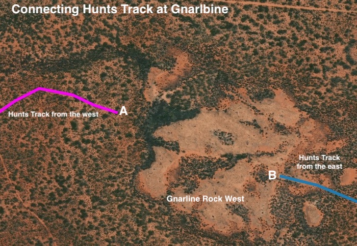
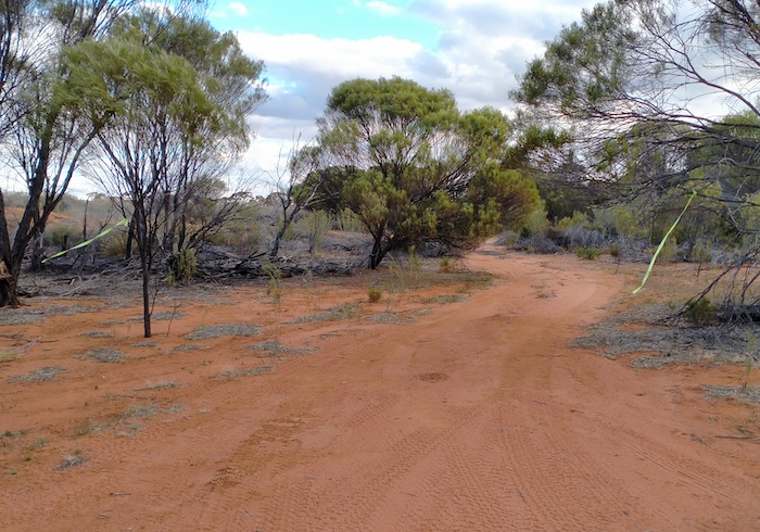
Next morning we set about finding Hunt Track between Gnarline East and Gnarline West. The path from Point A to Point B depicted on the map below was not immediately clear but after plenty of effort and driving backwards and forwards from the known Track to where we thought the Track was routed we eventually were able to connect the two parts of the Track and an additional 1.4 kilometres was added to the known, usuable Hunt Track. After repositioning the directional sign a kilometre west of the rock we retired to camp for lunch.
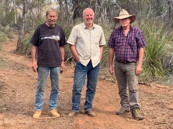
- Kerry, Scott and Kim at the section of track found to connect the two parts of the Hunt Track.
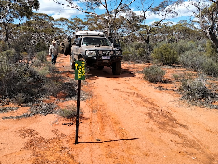
- This sign previously directed travellers north to the sand quarry access track and then east to Gnarlbine Rock. The opening of the Track between Gnarlbine West and Gnarlbine East necessitated a repositioning of the sign.
- Hunt Track leaving Gnarlbine East.
- Our camp at Gnarlbine.
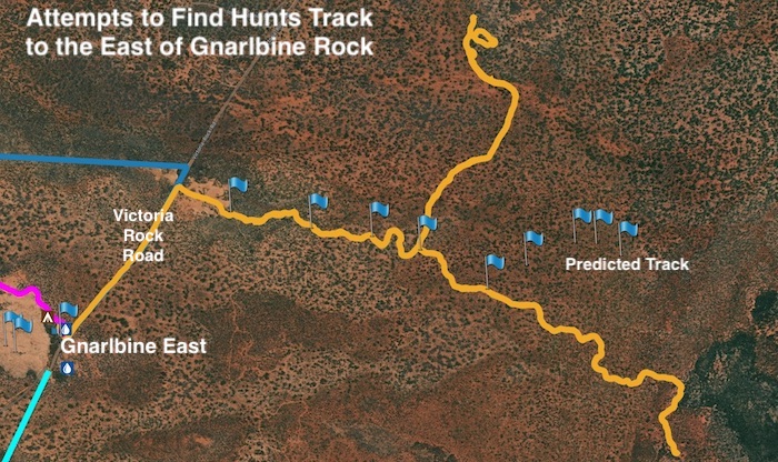
After lunch we determined to find the Hunt Track to the east of Gnarlbine. We found a way through a disused quarry to where an overgrown track was faintly visible. We followed this east for 1.3 kilometres (looking good) and then north for a further 1.5 kilometres before deciding that it was not going to take us in the direction we required. We retreated to a Y junction noticed on the outward journey and headed south-east. After two kilometres this, too, was abandoned.
- The tracks we were able to find headed too far north or too far south-east.
It was time to head back to camp.
Scott Wilson arrived from Kalgoorlie after dark and lively conversation ensued around the campfire.
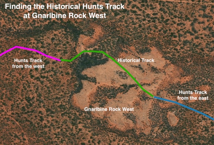
Next morning we headed to Gnarlbine West to locate the historical track Scott described the previous night. That was relatively easy and there are now two ways ‘onto the rock’ (or ‘off the rock’ depending on direction of travel).
- The historical track (green) was found relatively easily and enabled a second route for the Hunt Track.
Pioneer Well at Gnarlbine West
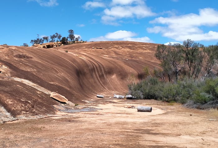
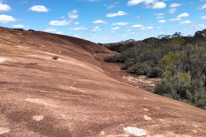
I had plotted the location of a pioneer or native well at the western edge of Gnarlbine West. It was in very solid thickets in the usual band of vegetation that surrounds granite outcrops. Granite outcrops have their own ecosystem and act as island sanctuaries for a whole range of wildlife. In the south-west of Australia they are characterised by this belt of thick vegetation around the base of the rock. In many cases, due to the large amount of runoff from the rock, this vegetation is swamp-like, even though they are located in semi-arid country.
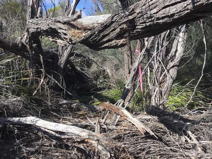
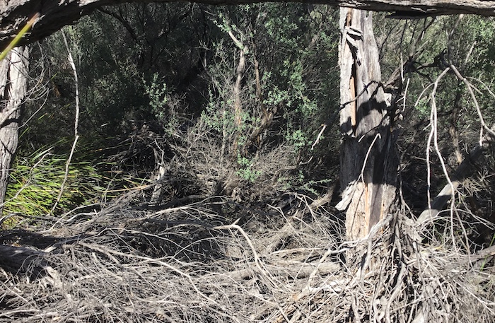
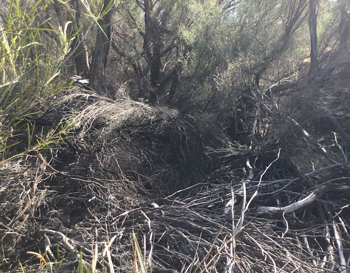
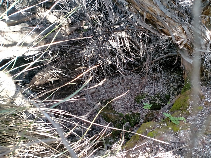
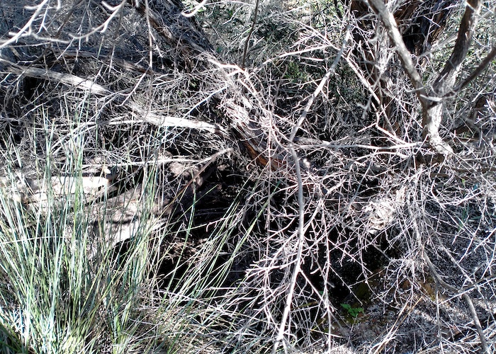
In an open area away from the rock we noticed a gully leading off the rock. Scott followed this up. Not easy. The thickets are almost impenetrable. After some time but only 20 metres he shouted that he had found a well. Time for Scott W, Kerry and me to crash through the thickets. Tough work. The thickets rip clothes and skin.
- Nearly impenetrable.
- The ground was not visible.
- A tangle of vegetation.
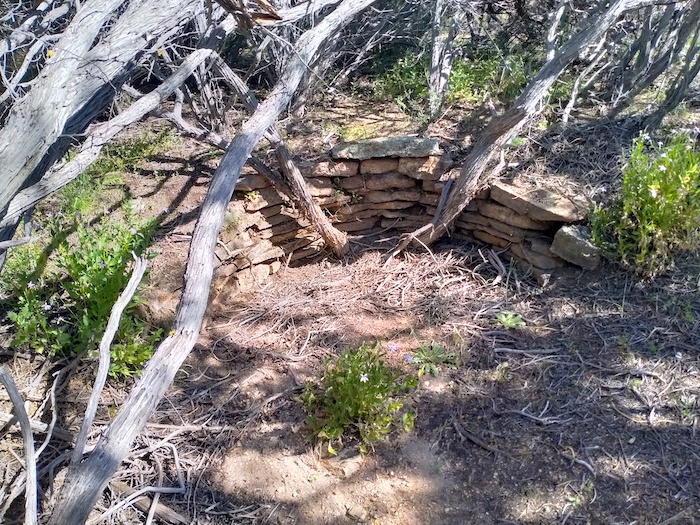
- Lost for 50 years or more.
- There’s a well in there somewhere.
Banks Rock
We left Gnarlbine mid-morning heading south on Victoria Rock Road, intending to check out Banks Rock before finishing at McDermid Rock. The track into Banks Rock is difficult to find and is actually off a woodline that sort of parallels Victoria Rock Road. The 3.5 kilometre access track is full of twists and turns.
- Banks Rock
- Partway up Banks Rock.
- Lake Johnston is in the distance.
- Kerry walking up Banks Rock.
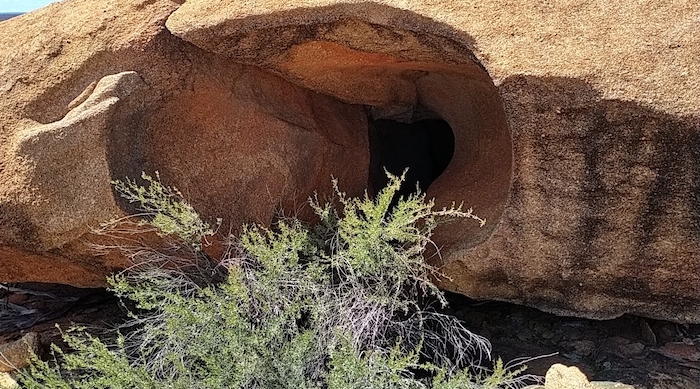
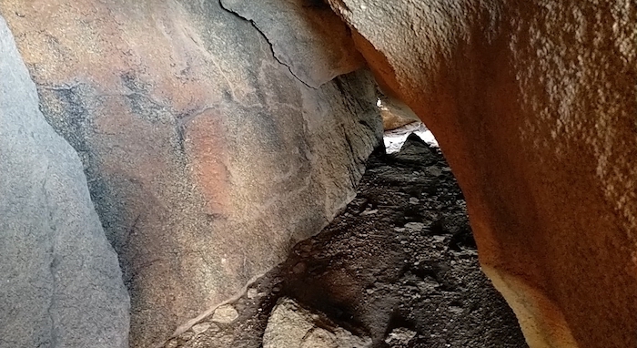
- Entrance to ‘cave’ partway up Banks Rock.
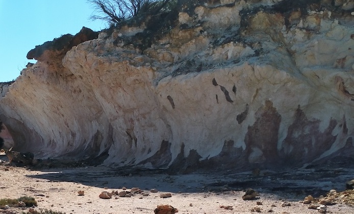
- Rock hollowed out by the process of haloclasty.
Lake Johnston
Leaving Banks Rock we detoured a few kilometres along the Hyden-Norseman Road to have lunch at Lake Johnston.
- The drive along the old Norseman Road is challenging and interesting.
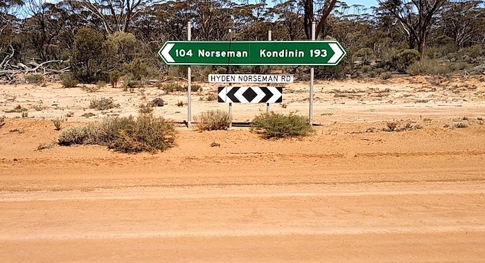
The directional/informational sign at the intersection of Hyden-Norseman Road and Victoria Rock Road is incorrect albeit ultimately helpful. The distance to the next available fuel is correct. However, it is at Hyden, not Kondinin.
- Kondinin is 253 kilometres to the west. The 193 relates to Hyden, next available fuel.
- Simple search on Google Maps shows the sign is in error.
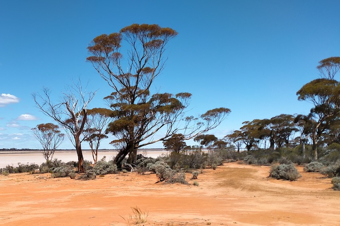
- Lake Johnston is technically a playa.
McDermid Rock
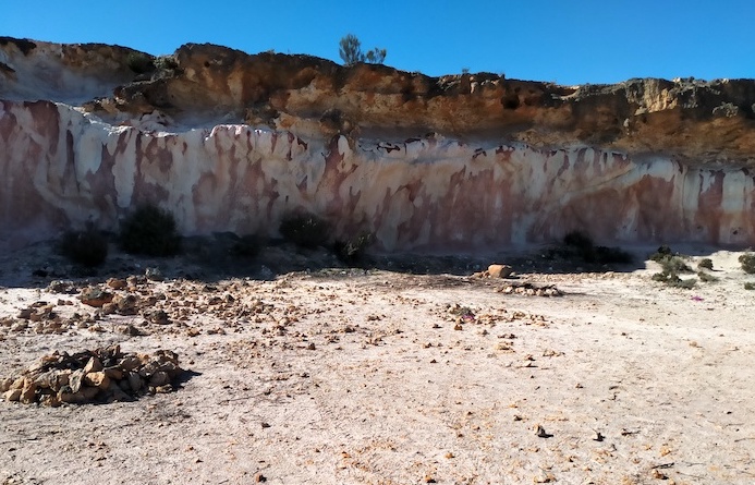
McDermid Rock is 2.6 kilometres south-west of the intersection of Victoria Rock Road and Hyden-Norseman Road. Although we had climbed many times in the past we considered the view from the top to be worth the effort.
We were way ahead of our schedule so we decided to head to Emu Rock on the Holland Track.
On the way to Emu Rock we visited The Breakaways.
Emu Rock
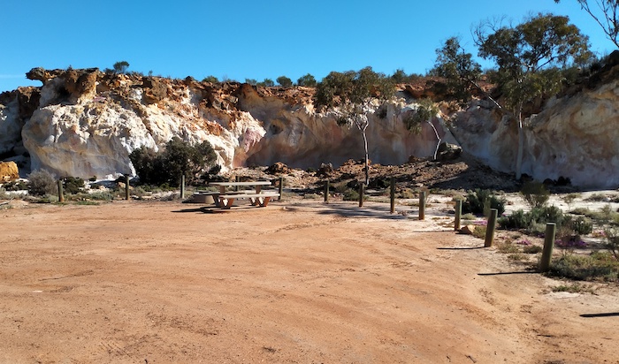
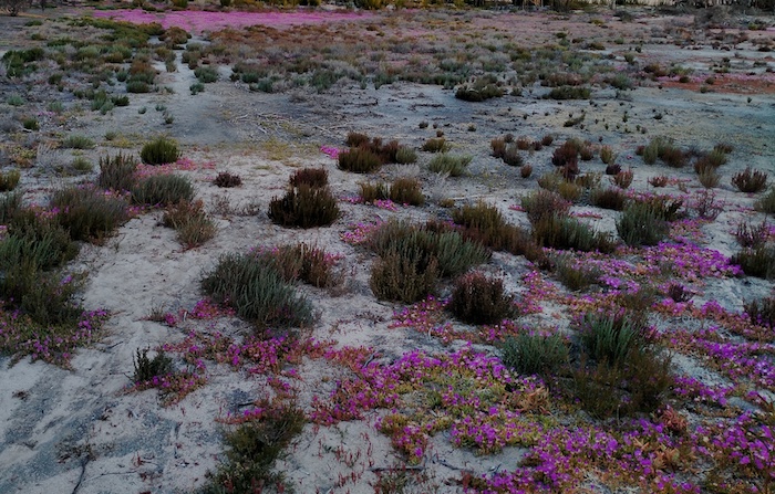
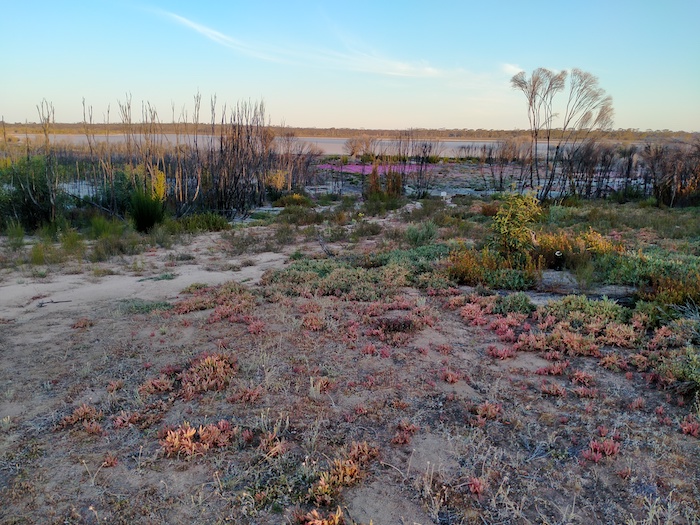
We were ahead of time and pushed on to Emu Rock to camp the night. There was plenty of regrowth in the area after the devastating fires a couple of years previously. Emu Rock is a good, flat campsite overlooking the lake with enough room for 20 or more vehicles. It is on the Holland Track south of the Hyden Norseman Road and 1.7 kilometres south-west of the State Barrier Fence.
- Water in the lake, wildflowers on the bank and an unobstructed view of both.
Next morning it was easy drive out to the big, wide, open Hyden-Norseman Road and then an uneventful trip back to Cockburn.
© Kim Epton 2021
1716 words
46 photographs, five images.
Kim Epton, Scott Overstone, Scott Wilson
See Terms of Use
Feel free to use any part of this Trip Report but please do the right thing and give attribution.


