We determined to follow a section of the 600 kilometre long Hunt Track with a view to finding a pioneer well at Yerdanie Rock and the second well at Gnarlbine.
The Yerdanie, Prince of Wales, Gnarlbine area must be one of the coldest locations in Western Australia. Each time we have camped there in winter our water has frozen, there has been frost on the ground and butane stoves won’t work (learn why). June 2020 was no exception with the overnight temperature plummeting below zero.
-
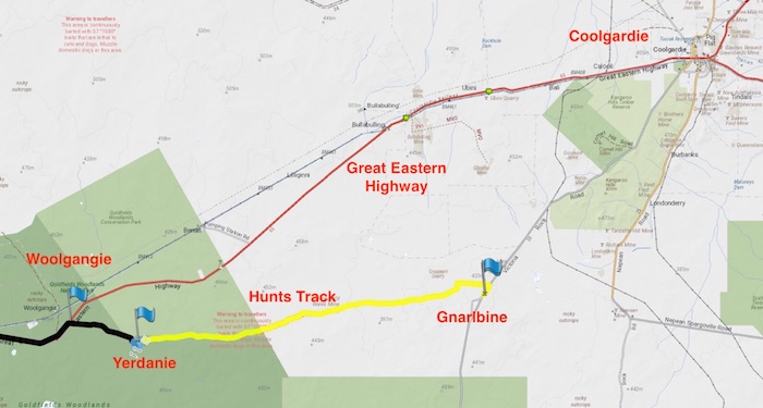
- The Hunt Track from Yerdanie to Gnarlbine.
After unsuccessfully searching on each visit to the Rock over a number of years we relocated the well we first saw in 2008. This is not one of Hunt’s Wells – being timber lined and at the south of the rock rather than to the west.
[2020 Update: Hunt’s Yerdanie Well was rediscovered after more than 100 years. See more.]
-
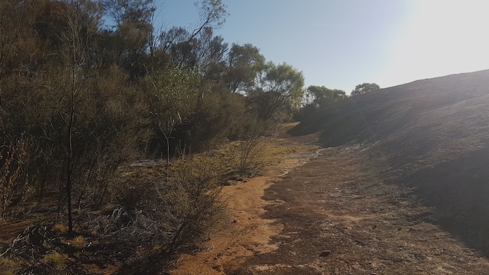
- The southern end of Yerdanie Rock.
-
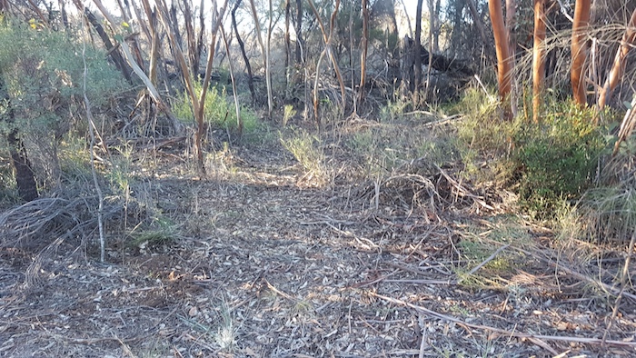
- Small path to the abandoned well at Yerdanie at -31.189 120.629
-

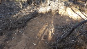
- Well at Yerdanie Rock.
While walking through the thick vegetation that surrounds the Rock the great volume of runoff was evident in the way vegetation detritus had formed small watercourses.
-
- Detritus formed a watercourse.
-

- Runoff from the Rock created small watercourses.
-
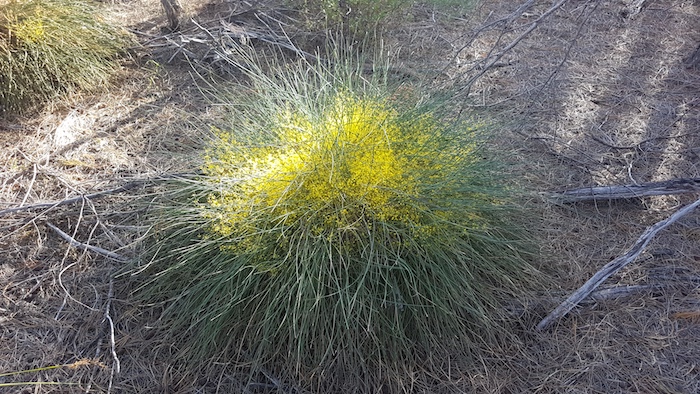
- Plant in flower at Yerdanie.
It is difficult to determine how many vehicles have travelled the recently-recreated Hunt Track between Yerdanie and Gnarlbine. Anecdotally, it is known to be getting some use. However, there is little evidence of large numbers of vehicles on the Track and this is not surprising as very few people know of its existence.
Only a few hundred meters after getting away from our campsite we came across a couple camped just off the track. They had just finished the Holland Track and were returning to Perth. They had turned off Victoria Rock Road at Gnarlbine and saw the signs we had placed in 2019 letting travellers know they were on Hunts Track. Surprisingly, there is connectivity for mobile data at Yerdanie and they were able to research this website to find out what they had stumbled upon. Imagine their surprise when they realised that they were talking to the people who had re-created the Track
We continued along the Track through the Goldfields Woodlands National Park to the industrial scale firebreak delineating its boundary.
-

- The entire photograph is the firebreak on the eastern boundary of the Goldfields Woodland National Park. The cleared line across the firebreak is the Hunt Track.
-
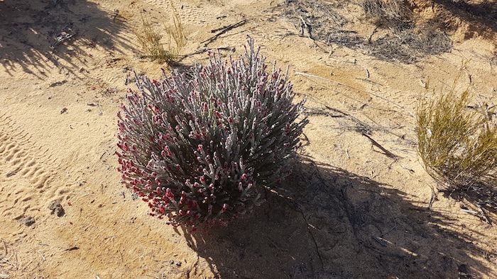
- Native Foxglove on the firebreak.
From this point the track we had recreated in 2018 with the Positrac is a lot more serpentine than the 2019 track done with the loader.
On arrival at Gnarlbine the previously difficult-to-locate second well to the south of the Rock was found with ease. Sometime in the past year somebody had cleared an accessible path to it and removed a lot of the thick vegetation that had hidden it for so long.
-
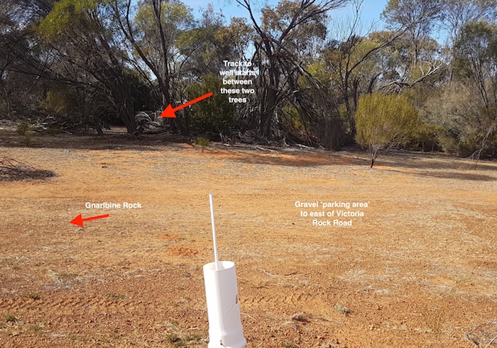
- Start of the track to the second well at Gnarlbine.
-

- Track to second well at Gnarlbine.
-

- Gnarlbine Well No. 2
The well is of a later vintage than Hunt’s wells and a wonderful example of the stonemason craft. This second well is about 240 metres south of the main Gnarlbine Well and is on the eastern side of Victoria Rock Road.
When completed the Hunt Track will be an adventurous alternative route to Kalgoorlie and a positive addition to regional tourism.
© Kim Epton 2020
586 words, 12 photographs/images.
Terms of Use
Feel free to use any part of this document but please do the right thing and give attribution.
.