The Holland Track was created as a direct result of the discovery of gold in Coolgardie. Gold brought fortune seekers to Western Australia from all around the world. Some alighted at Albany and made their way to Perth where they headed east by various forms of transport to the Goldfields. Others continued by ship to Fremantle and then headed to Southern Cross and the Coolgardie Goldfields. Whichever route they chose, it was long and tedious.
A more direct route was needed.
John Holland, an experienced bushman, mounted a carefully planned expedition to find a shorter route to the Goldfields.
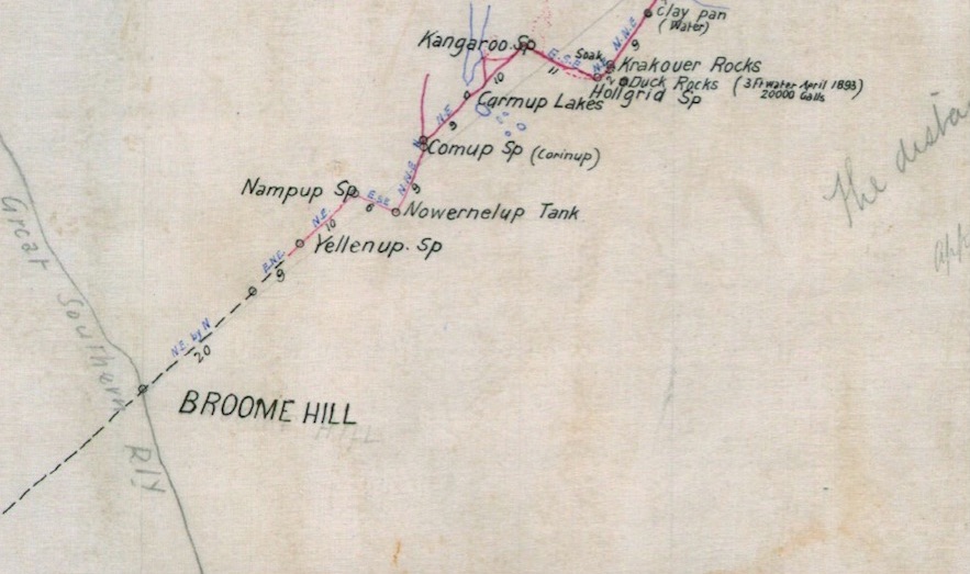
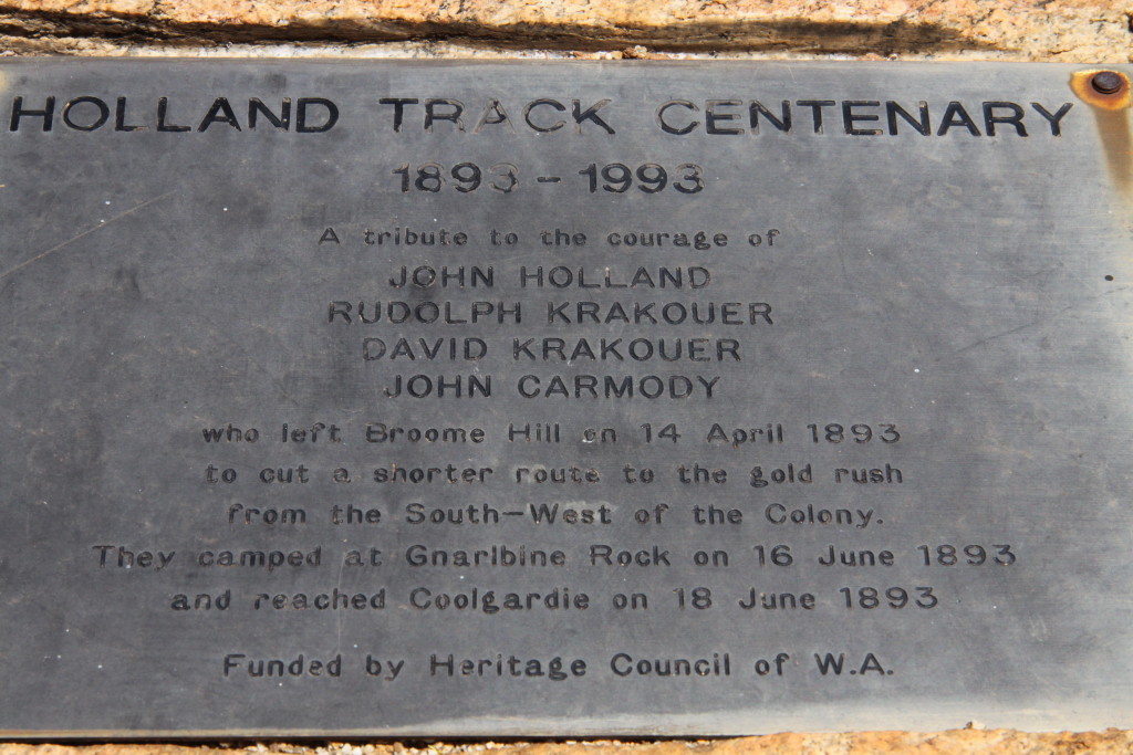
In April 1893, Holland, Rudolph Krakouer, David Krakouer and John Carmody left Broomehill with five ponies, a light dray, a 100 gallon (450 litres) water tank and provisions for 5-6 months. Using a small compass they aimed for Gnarlbine Rock, the Goldfields’ main water supply. Holland would go ahead each day and scout for water and horse feed, while the others cut the track. They reached Bayleys Find at Fly Flat on 18 June, having covered nearly 540 kilometres in two months, cutting the longest cart road ever made in one stretch in Western Australia.
The track was used immediately by prospectors, fortune seekers, merchants, transport operators and anyone else needing to get to the Goldfields.
18,000 people used the shortcut over the next three years, up until the last link of the railway from Perth to Coolgardie was completed, providing a rail link to the Goldfields.
- Holland Track – Sheet 1
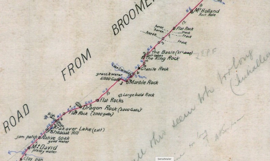
- Holland Track – Sheet 2
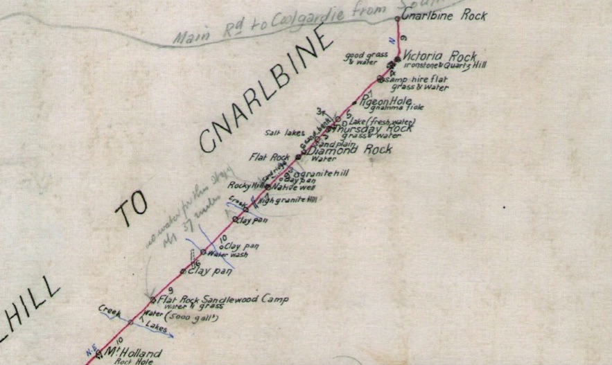
- Holland Track – Sheet 3
The southern half of the track was subsumed by expanding wheat growing areas during the 1920s. For almost a century the northern half (from the Hyden Norseman Road to Coolgardie) was all but abandoned and the area reverted to bushland except for some intrusions by sandalwood cutters.
Present day access is a tribute to Broomehill farmer Graeme Newbey and researcher Adrian Malloy who were determined to reopen the track. In November 1992 they led a group that, with the aid of Graeme’s tractor, succeeded in cutting the track from Wattle Rocks, about 22 kilometres north of the Hyden Norseman Road, to Thursday Rock about 70 kilometres south of Coolgardie.
In June 1993 Graeme Newbey led an expedition along the newly opened Holland Track to mark the centenary of Holland’s historic journey.
The section of John Holland’s Track between Broomehill and Newdegate that has mostly been subsumed by farmland is today is is known as The Holland Way and is not the subject of this article.
The 4WD Holland Track starts where Newdegate North Road (Dragon Rocks Road) intersects with the Pingaring-Varley Road, at the northern edge of the Dragon Rocks Nature Reserve.
Most are too lazy to ‘do’ the first 54 kilometres of the Track and instead pick it up where it crosses the Hyden Norseman Road. Have they travelled the Holland Track?
The Holland Track runs along the edge of Lake Carmody. The lake was named by Holland in 1893 after John Carmody, a member of his party, who turned 21 the day the lake was discovered.
- Track alongside Lake Carmody.
The next feature along the Track is Emu Rock, one of many large granite outcrops in the Great Western Woodlands.
Emu Rock is often considered to be the start of the 4WD section of the Holland Track by those who know that the Hyden Norseman Road is not the ‘start’ but are unwilling to travel the extra 48 kilometres to Dragon Rocks Nature Reserve.
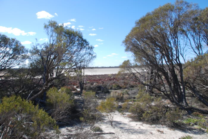
- Unnamed lake east of Emu Rock.
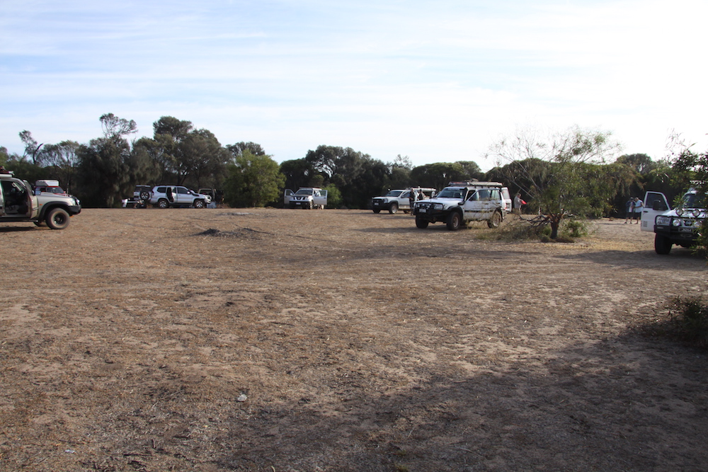
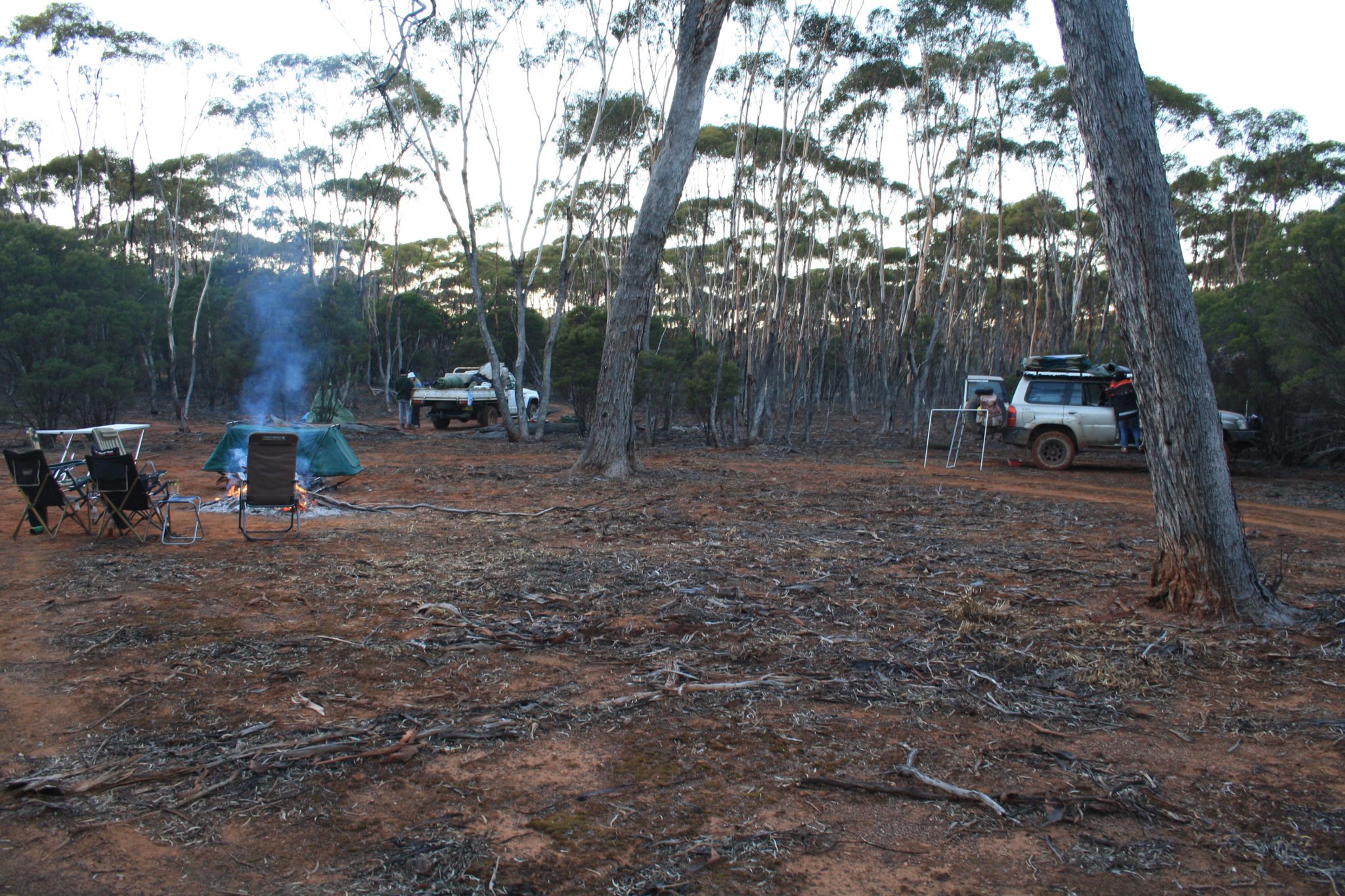
- Camping area at Emu Rock.
It was used for pasturage for Rabbit Department stock during the construction and maintenance of the Rabbit Proof Fence around 1905. This fence, now known as the State Barrier Fence, is two kilometres to the north-east. Previously known as the Rabbit Proof Fence, it was part of Western Australia’s desperate attempt to stop rabbits from invading the state.
Read more about the Rabbit Proof Fence.
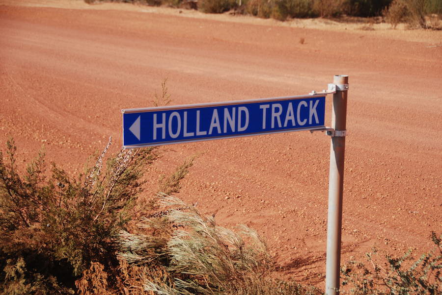
Six kilometres past Emu Rock the Holland Track crosses the Hyden Norseman Road. The Track is signposted here, and there is an information board and plaque at the point where it heads north. It is from here the most 4WD ‘expeditions’ depart.
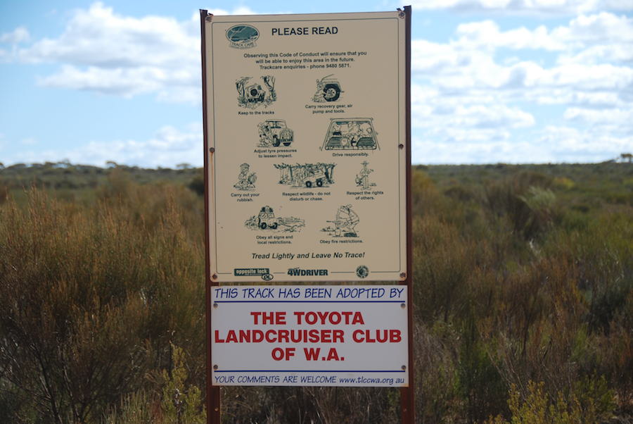
The Toyota Landcruiser Club ‘adopted’ the Track in 1997 and work in conjunction with the Department of Parks and Wildlife to keep travellers safe and the Track open. They have erected informational signs at this point.
- The Toyota Landcruiser Club look after the Holland Track.
The Hyden Horseman Road stretches 312 kilometres between Hyden and Norseman (unsurprisingly) and is an excellent alternative to travelling the Great Eastern Highway to Norseman. It is mostly gravel, unfenced and is used by road trains shifting ore between mines and processing plants.
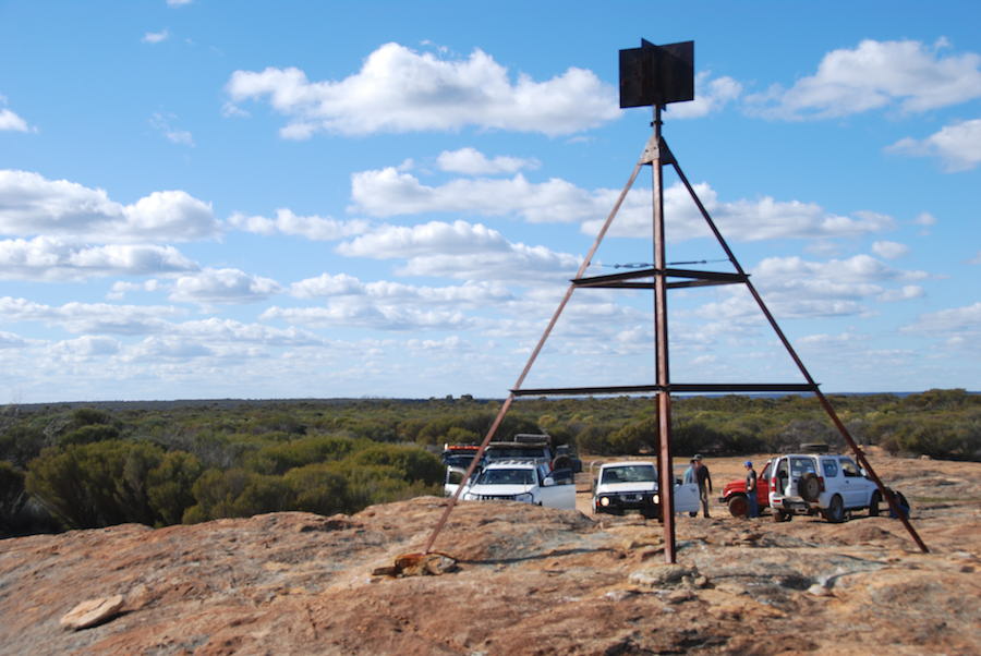
Sheoak Rock, 400 metres north-west from the Track, is worth a visit. Perhaps as a lunch spot.
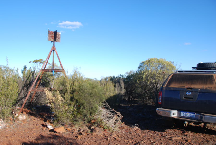
It is a low granite outcrop that has been shown on maps since 1906. Trig Station (HYD-33) is on its summit. The name of the rock is derived from the swamp sheoak (Casuarina obesa), which is prevalent around the outcrop. One of the aboriginal names for sheoaks is Kwowl, a word that is said to mimic the sound of the wind as it blows through the tree’s needle like branches. Sheoaks are known as ‘dioecious’ – that is, they have separate male and female plants that are pollinated by the wind. In the settled areas these sheoaks were used for fence posts, fuel wood, and to reclaim salt affected areas.
To this point the Track is fairly innocuous. Just over two kilometres after Sheoak Roack is a telecommunications tower, a structure that would not elicit comment in a less remote location. 800 metres past the tower is Native Rocks (32°17’59.47″S 119°33’8.61″E), named by Surveyor H.A. Smith during a traverse in 1927. Six kilometres further on is Wattle Rocks (32°15’48.93″S 119°34’58.06″E), another feature named by Smith.
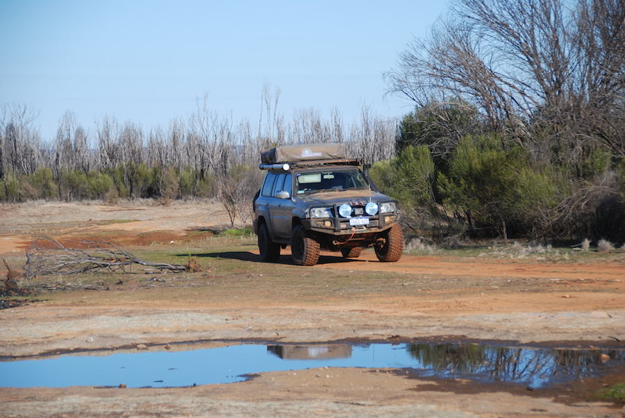
The Track is pretty cut up around Wattle Rocks (this comment is time sensitive).
- Boghole near Wattle Rocks.
- Boghole near Wattle Rocks.
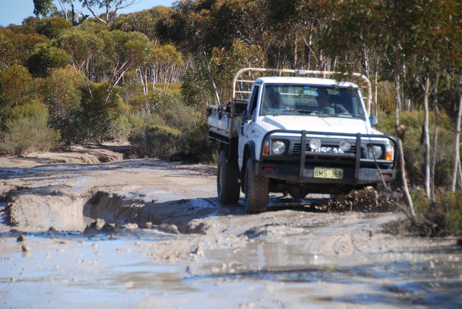
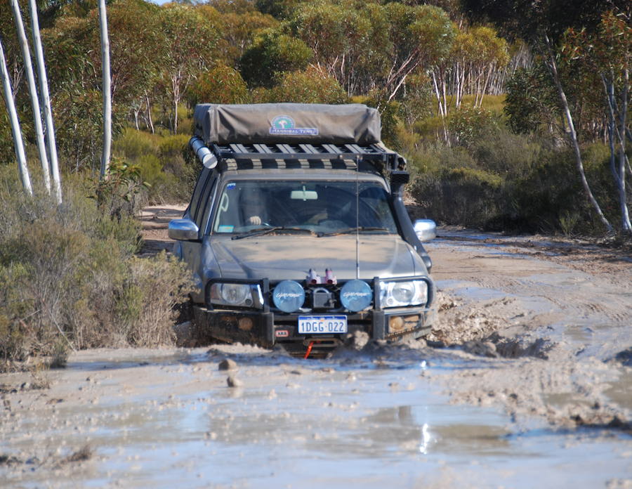
Ruts, bog holes and diversions are constant for many kilometres. An average speed of 20-25 kph would be considered good.
Another six kilometres north-east and the track passes by a large malleefowl nesting mound. It’s difficult to determine whether this is still in use although there is much advice to not disturb it. One would expect that all the passing tourists would drive away any member of Leipoa ocellata. Malleefowl are large, ground dwelling birds that are listed as vulnerable, mainly due to clearing of habitat, and predation. The male mallee fowl tends to the nest, which is constructed of surrounding leaf litter, sandy soil and other material. He also regulates the temperate of the composting nest by adding or subtracting litter and soil, as environmental heat generated by the nest’s decomposing organic matter is used to incubate the eggs. The female lays up to 20 eggs in the nest over several weeks.
The Holland Track intersects the Marvel Loch-Forrestania Road at an active mining area. There is a camp/picnic area at the base of Mount Holland. This an area of several acres with plenty of trees offering good shade. A rough track leads to the summit of Mount Holland and panoramic views over the Great Western Woodlands. More than six vehicles in the clearing on the top of the hill would be a tight fit.
R.J. Holland named Mt Holland on 18 May 1893.
Where previously the Holland Track weaved around waste dumps, haulage roads and rehabilitated mining areas, today it skirts the mining area along a power line due east before turning due north towards a tailings dam. The north-heading section of the Holland Track between the power line and the tailings dam can be deeply rutted with numerous bogholes. There are a number of excellent campsites in the open woodland along this part of the Track.
- Campsite seven kilometres east of Mount Holland.
From Mount Holland the change in the vegetation is immediately apparent. From the Hyden Norseman Road the Holland Track runs through sand plain country. Towards Centenary Rock and beyond the vegetation changes from low scrub heath to woodlands. Particularly noticeable is the presence of eucalypts on the top of rises where gravelly soils are present.
After Sandalwood Rocks the Track detours south-east to get around the bottom of the State Barrier Fence. After heading four kilometres along the eastern side of the Fence the Track again heads north-east towards the Mt Day Road.
- Sandalwood Rocks
Krakouer Rocks, the next major feature, were named after David and Rudolph Krakouer, members of Holland’s 1893 expedition. One of the names put forward for this feature was Newbey Rock after the 1993 Holland Track Centenary Expedition Leader, Mr Graeme Newbey, a retired farmer from Broomehill. However, the Geographic Names Committee decided that the name Krakouer Rock would be more suitable as it is linked directly to Holland and his expedition.
Agnes Gnamma was named by the Holland Track Centenary Expedition after Agnes Holland, wife of R.J. Holland and the first woman to travel the Holland Track. She accompanied her husband on his second trip along the track in December 1893. She died of typhoid only six months later, the first white woman to die in Coolgardie, and was buried in the Pioneer Cemetery at Coolgardie. Gnammas were vital to early explorers, prospectors and of course aboriginal people.
The northern portion of the Track has many twists and turns, requiring constant attention.
Victoria Rock Road signifies the end of the vehicle part of the Holland Track.
For details of other, lesser-known tracks, go here.
© Kim Epton 2018-2021
Feel free to use any part of this document but please do the right thing and give attribution. It will enhance the SEO of your website/blog, and this website.
1604 words, 15 images.
See Terms of Use
