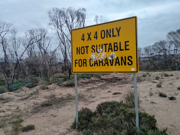
The Balladonia Track starts 52 kilometres east of Condingup and heads north east off Fisheries Road. It is an unsealed road in reasonably good condition that allows travel at a moderate speed. It is not suitable for caravans although many people have taken their rigs along the full length of the track with no issue.
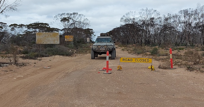
Many websites state the road is ‘closed’ but this is not accurate. The issue seems to be more about which local government authority is responsible for maintaining the remote road. There are many, many roads throughout Western Australia that are in far worse shape than the Balladonia Track.
The journey from Esperance to Balladonia along the bitumen through Norseman is 422 kilometres whereas along the Balladonia Track it is only 293 kilometres.
Mt Ragged
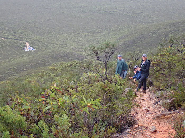
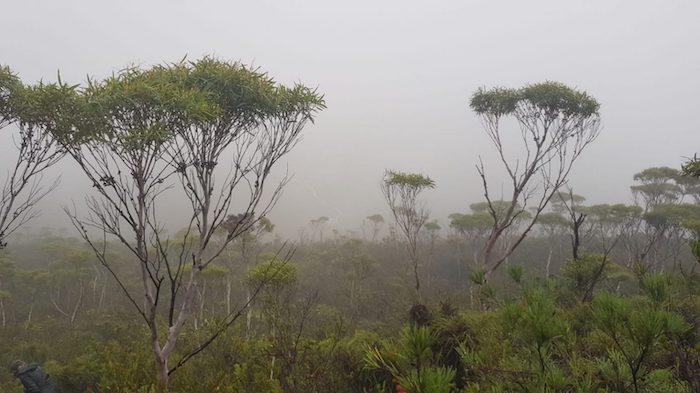
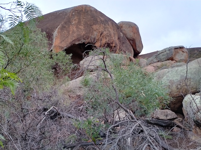
Forty seven kilometres along the Track a well-signposted track leads into Mount Ragged. The walk to the top of Mt Ragged (known as Tower Peak) is a three kilometre (return) journey, described as difficult, that should take about 2-3 hours.
- The track of the Balladonia Track into Mount Ragged.
- On the way to the top of Mt Ragged.
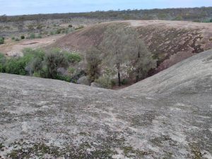
- On the way to the top.
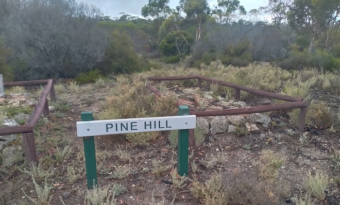
Eighteen kilometres to the north of Mount Ragged is Pine Hill, near the northern boundary of the Cape Arid National Park. The DPaW website states that it was discovered in 1874 by the pioneers William and Stephen Ponton and John Sharp. They named it after the native pines (Callitris species), a termite-resistant wood, highly prized for fence posts, found in the area. They had driven sheep overland from Albany in 1873 and for the next five years settled at Pine Hill until they learned of superior country further north around Balladonia. Unfortunately this information is unreferenced. Today all that remains at Pine Hill are a dam, ruins of an oven and travellers’ graves.
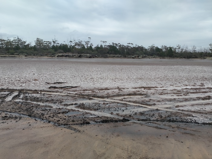
Juranda Rockhole is to west of the Track.
- Claypan/lake at Juranda Rockhole.
Sixteen kilometres further on is the turn off to Balbinya.
Balbinya
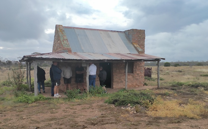
Balbinya was settled in 1884 by John Paul Brooks, his mother Emily Henrietta and sister Sarah Teresa. They had walked from Albany to Israelite Bay in 1874. Brooks was the first linesman at Israelite Bay Telegraph Station from 1877 to 1883. He managed Balbinya till his death in 1930.
- The restored Balbinya Homestead.
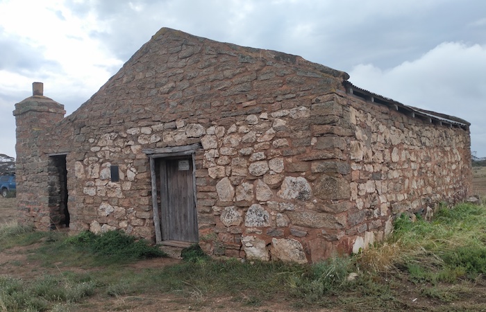
- Restored store shed at Balbinya.
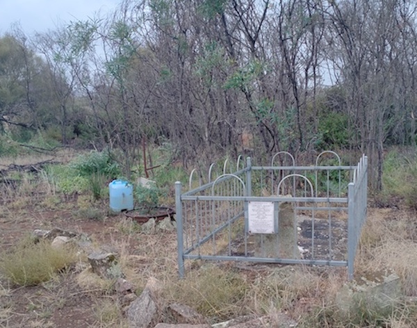
- The graves of John Paul Brooks and his mother Emily Henrietta Brooks
Continuing north from Balbinya, the Track changes markedly from where it intersects with Parmango Road.
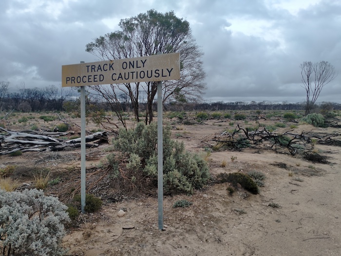
- For southbound travellers, the Balladonia Track deteriorates from this point.
- If there was any doubt about the message from the first sign the second sign reinforces it. However, the track presents no fears when dry. And even if wet, only a few places would cause concerns.
The cleared thoroughfare was about 100 metres wide north from where the Balladonia Track and Parmango Road intersect. The reason for such a wide clearing of vegetation is unknown although it is likely to be the ploughed-in Telstra cable parallel to the track and 50 metres to the east of it.
Booanya Rock
The turnoff to Booanya Rock is 23 kilometre north of Parmango Road.
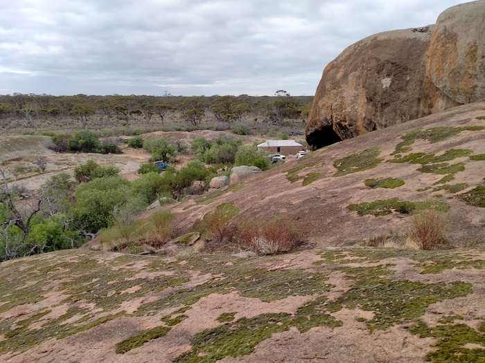
- Booanya Rock and outstation.
The building at Booanya Rock is being restored.
- Outstation building at Booanya.
- The building is being restored.
- A large tafone at Booanya Rock.
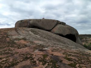
- Booanya Rock
- The ‘cap’ of Booanya Rock where someone has constructed a mock up of a communications dish.
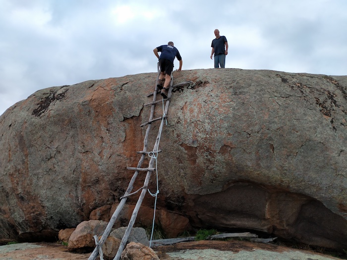
- A dodgy ladder to the top of the rock.
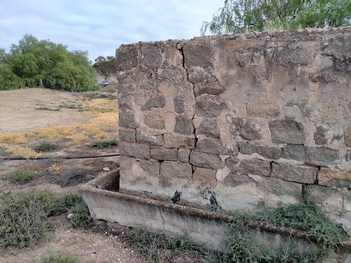
There is plenty of relics of habitation. One corner of the cement-lined tank and water trough was in good condition.
- Cement-lined tank and water trough adjacent to a dam north of Booanya Rock.
The next sign of habitation along the Balladonia Track is the unwelcoming Nanambinia Station.
Large Land Snail
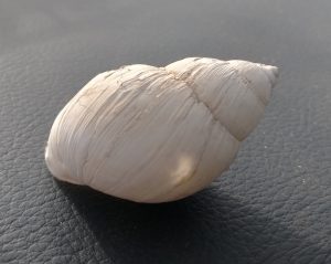
This is one of the largest land snails in Australia, if not the largest. It is tentatively identified as Bothriembryon Dux.
As scientists are finding out more about these molluscs, they are more clearly identifying them and allocating them to more precise geographic regions, with resultant name changes. This looks like the Bothriembryon toolinna, however, the location where it was seen is quite a few kilometres from Toolinna Cove. Perhaps it should be known Bothriembryon balladonia. There are thousands of them on the Balladonia Track.
Balladonia
Balladonia heralds the end of the Track.
- At the intersection of Balladonia Track and Eyre Highway. Note that the sign is incongruously positioned so it doesn’t block access.
For details of other, lesser-known tracks, go here.
© Kim Epton 2021-2022
765 words, 22 photographs..
See Terms of Use
Feel free to use any part of this document but please do the right thing and give attribution.

