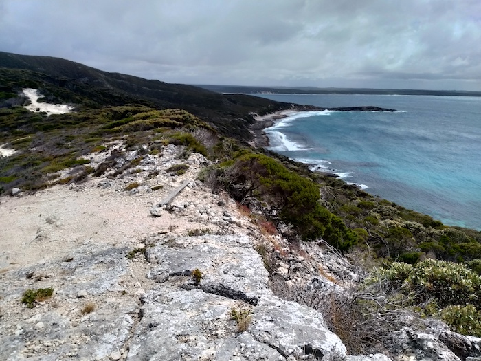
Groper Bluff is a 50 metre high, one kilometre long headland that separates Wray Bay and Cheyne Bay on the south coast of WA between Albany and Bremer Bay..
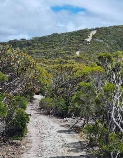
The rough and rutted limestone track leads to within about 150 metres of the Bluff itself.
The Groper Bluff Track leaves Pallinup Road about 2.5 kilometres before Pallinup Beach. The first 2.5 kilometres of the Track, while bumpy, and in places closely vegetated, is reasonably easy.
- Track becomes more challenging from about here.
Around this point two jump ups are encountered and the Track gets increasingly tighter, rougher, and more rutted. Tree roots protrude onto the Track. Sharp limestone rocks are an ever-present hazard. Overhanging branches may cause damage to a vehicle fitted with a roof top tent.
- Groper Bluf protudes in the ocean, separateing Cheyne Bay and Wray Bay.
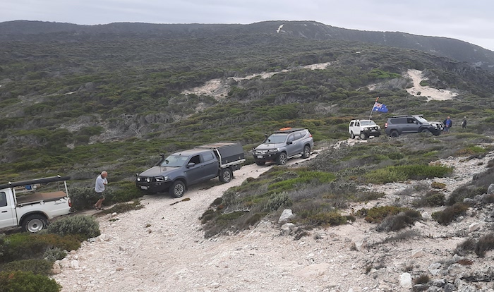
Vehicles with IFS and larger vehicles such as F250s, RAMs, Z71s and the like will be challenged at a number of tight corners along the Track.
- A victim of the track?
- Groper Bluff Track
Nine hundred metres from the bluff itself and three hundred metres from a ‘turnaround point’ the Track narrows, rises sharply and turns on this rise. The reward for not making the turn correctly is driving over the edge of the spine. It is wise to have a spotter at this point to direct vehicles safely.
- A reasonably level area below the sharp turn allows time to assess the situation.
- Drive too far or don’t turn in time and you go over the edge. The strategically placed length of wood won’t save you.
- The track narrows on the spine of Groper Bluff.
From this point there are spectacular views to the north and south.
- To the north are WA Beaches 329, 330 and 331.
- Groper Bluff Beach – WA Beach 332.
- Rod’s Hilux on the narrow spine of Groper Bluff.
It is not practicable to access the end of the Bluff by vehicle.
The return journey is more difficult than the drive in.
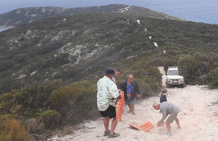
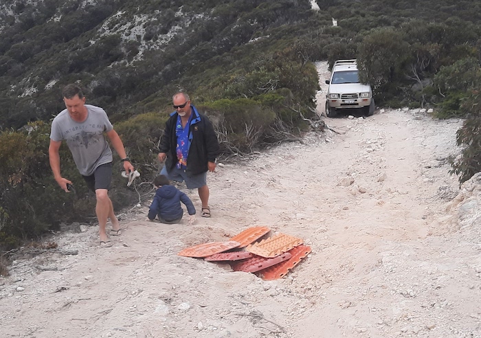
- Traction boards were used to bridge a hole.
- A little bit of road building makes a lot of difference.
- Assessing the situation.
- Last vehicle up the hill.
Tackled sensibly the Groper Bluff Track is quite ‘doable’ without damage to vehicles other than scratches. Heavy rains (250mm) not long before our visit washed away a lot of sand from the Track, exposing potentially damaging sharp rocks and made the trip more difficult than previous excursions.
© 2023 Kim Epton
Feel free to use any part of this document but please do the right thing and give attribution. It will enhance the SEO of your website/blog and this website.
445 words.
14 photographs.
Photographs
Dan Wales
Warren Peers
Kim Epton
See Terms of Use
