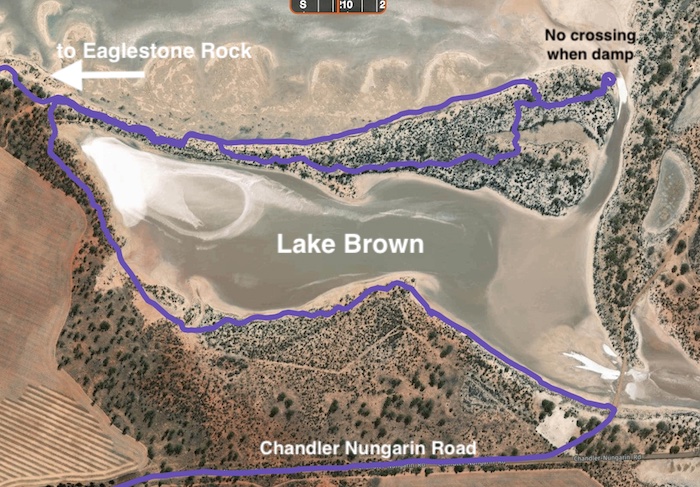
This is a short, interesting track that runs from Eaglestone Hill/Eagle Rock along a finger of land that extends into Lake Brown and then, if the way forward is too wet, allows return to a point where it runs around the edge of the lake to the finish of the Track at a gravel mine entrance road, 100 metres from the Chandler Nungarin Road.
Don’t attempt to cross the lake unless it is ‘rock hard’ – generally in the months of February, March and April or later depending on rain or lack of it. Crossing the lake at other times will leave ugly wheel marks that last an inordinate amount time and are a blight on the beautiful surrounds. Plus the risk of severe bogging is very high. The cleanup will not be pleasant.
Choose to return to Eaglestone Hill along the Track or take formed roads (Chandler-Nungarin Road, Jolly Road, Cornish Road, Lake Brown South Road, Eaglestone Rock Road ) back to the start point.
-
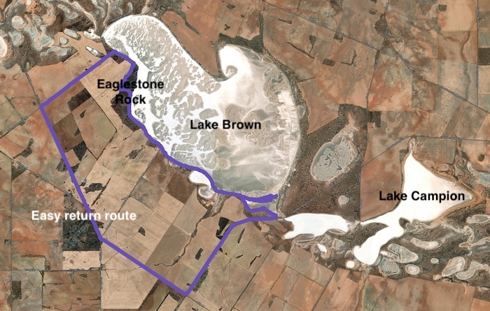
- LAKE BROWN TRACK – includes easy return route.
Lake Brown was named by Western Australia’s first Surveyor General, J.S. Roe, during his major 1836 expedition through what is now the north-east wheatbelt, after the then Colonial Secretary, Peter Brown/Broun. It wasn’t till nearly nearly 100 years later that nearby Lake Campion was considered to be a separate lake and given its name.
-
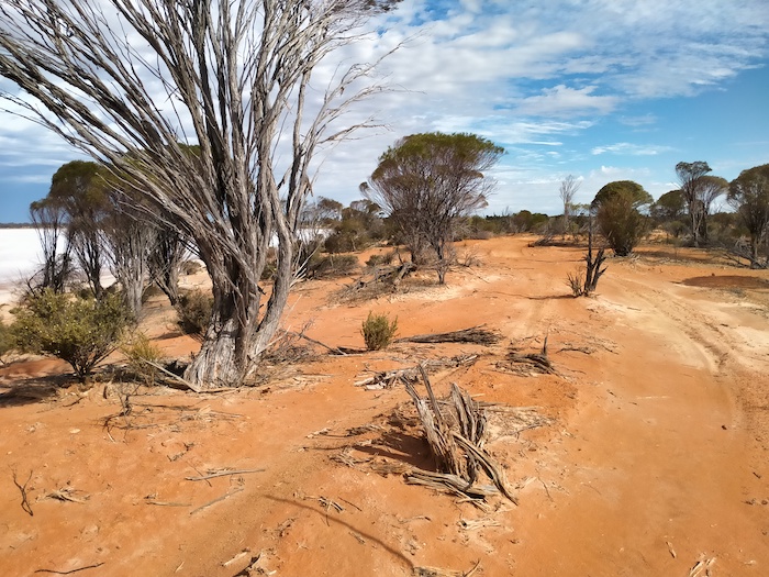
- Near the start of the Track.
-
- Close to the start of the Track.
-

- Salt in Lake Brown.
-

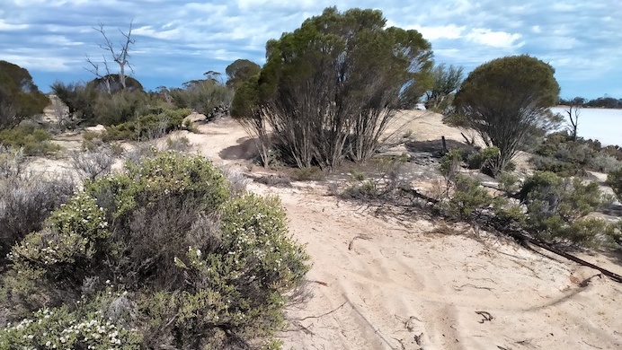
- Sandy track.
-

- This part of the Track turns to bulldust.
-

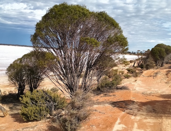
- Part of the Track is on the lake itself.
-
- Sandy part of Lake Brown Track.
Eagle Rock is part of Eaglestone Hill. They are about 18 kilometres south of Mukinbudin on the edge of Lake Brown. Both were named by Surveyor General, J.S. Roe in 1836. Roe didn’t give a reason for the naming and none of the rocks or shapes at the feature resemble an eagle.
-
- ALTERNATIVE ROUTE AT END OF LAKE BROWN TRACK
-

- Wheel marks last on long time on the edge of the lake.
Iconic Tracks of Western Australia
© Kim Epton 2021
367 words, 10 photographs/images
See Terms of Use
Feel free to use any part of this document but please do the right thing and give attribution.