The turnoff to Lake Sharpe from Dunn Track is difficult to see, being partly overgrown, and it would be wise to travel along it for a few hundred metres to confirm it is the correct route. Just over two kilometres in the margin of the lake appears. Saltbush and bluebush country. The track follows the edge of the lake for 14 kilometres. Classic outback Australia.
-
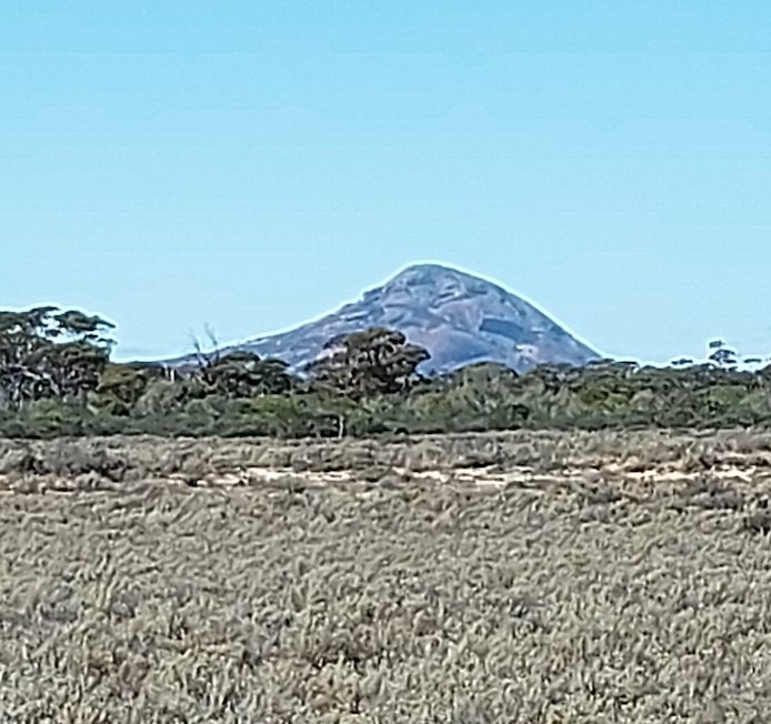
- Peak Charles from Lake Sharpe
-

- Track through Lake Sharpe.
In a number of places the track is difficult to follow and it may need a bit of investigation on foot to find the way forward.
-

- On the Lake Sharpe Track.
-

- Track along the edge of Lake Sharpe..
-

- Negotiating the track along the edge of Lake Sharpe.
As the track leaves the lake it merges with a recently made [2020] two blade firebreak/containment line. Closer to the Lake King Road it narrows to one blade width. This firebreak makes a diversion to the east, however, after a kilometre it again, reassuringly, turns north towards the Lake King Road.
North of the lake much of the country has been burnt out [2020]. It is surmised that it was to combat this fire that the firebreak/containment line had been made – probably by a wheel loader. In some places it disappears or is very difficult to follow.
-

- The firebreak/containment line became difficult to see on occasions.
-

- The fire had stripped out huge swathes of the country, however, there was evidence that the bush was coming back.
Surveyor T.A. Ellison named Lake Sharpe in 1929 while doing ‘classification surveying’ but he failed to record after whom he named it.
After a couple of Y junctions the track comes out onto the Lake King-Norseman Road.
-

- On the Lake King-Norseman Road after exiting the Lake Sharp Track.
-

- LAKE SHARPE TRACK
© Kim Epton 2020-2024
320 words, 8 photographs/one image.
See Terms of Use
Feel free to use any part of this document but please do the right thing and give attribution.