Burracoppin was one of Hunt’s major depots near the start of his track, his 10th camp east of York on his 1865 Wells and Tracks Expedition. Today Burracoppin is a wheat farming town east of Merredin. Hunt’s Well is just south of the town.
Hunt recorded:
23 February 1865. Thursday. 0h 30m p.m. halt at Burrancooping found the remainder of the party on sinking a well, collecting stone, timber etc. 5h p.m. discontinued sinking untill I can collect materials to build it up with at once, as it is impossible to get on with sinking it being through sand and the water coming in very fast, more than two men can bale out and keep under.
24 February 1865. Friday. … the whole of the party engaged about the well, collecting and casting stone, timber & after much trouble we succeeded in getting in the foundation for the well, the sand and water coming in at fast as four men could bale. …. 5h p.m. finished the well No.9 which proves to be a very good one, depth 7 feet, breadth at bottom 7½ feet, top 9½ feet, the water flowed in at the rate of about 150 gallons per hour, to the depth of three feet.
Burancooping, from which the town’s name is clearly derived, is an aboriginal word meaning ‘near a big hill’.
Rabbit Proof Fence No. 1 was started from Burracoppin in 1901, south to Esperance and north towards Port Hedland. The gates and wells along the Fence are numbered from Burracoppin.
The well was refurbished in 2016 and again 2019. In 2021 the misleading 'Hunts Well 1865' directional sign was relocated by the Cockburn 4WD Club to point directly at the well.
-
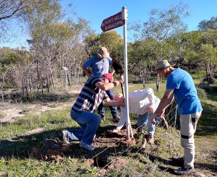
- Repositioning the sign.
-
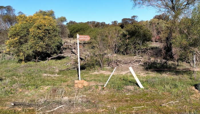
- Now the sign points to the well.
-

- Burracoppin Well 2021
-
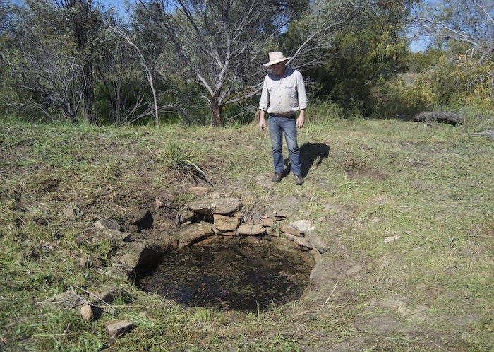
- Kim at Burracoppin Well in September 2016 after the surrounds had been cleared.
-
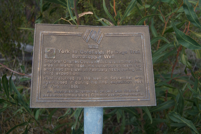
- Bicentennial plaque at Burracoppin Well 2016.
-
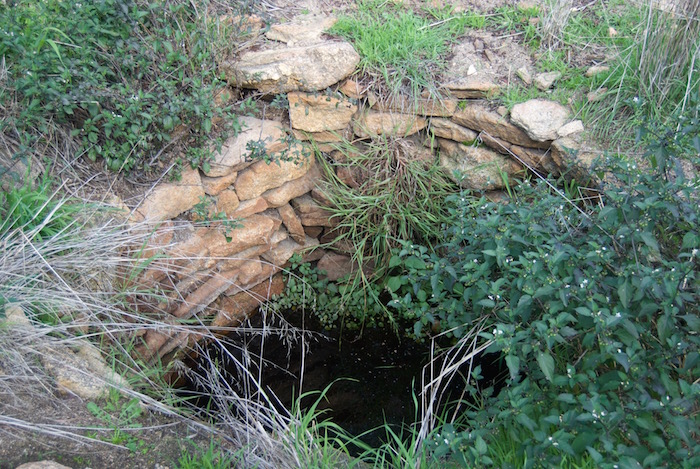
- Burracoppin Well June 2016 before refurbishment
-

- There was no well where the sign was pointing until it was relocated in 2021.
-

- Burracoppin Well December 1995
-

- Norm and Tony at Burracoppin Well December 1995.
-

- Burracoppin Well December 1995.
-
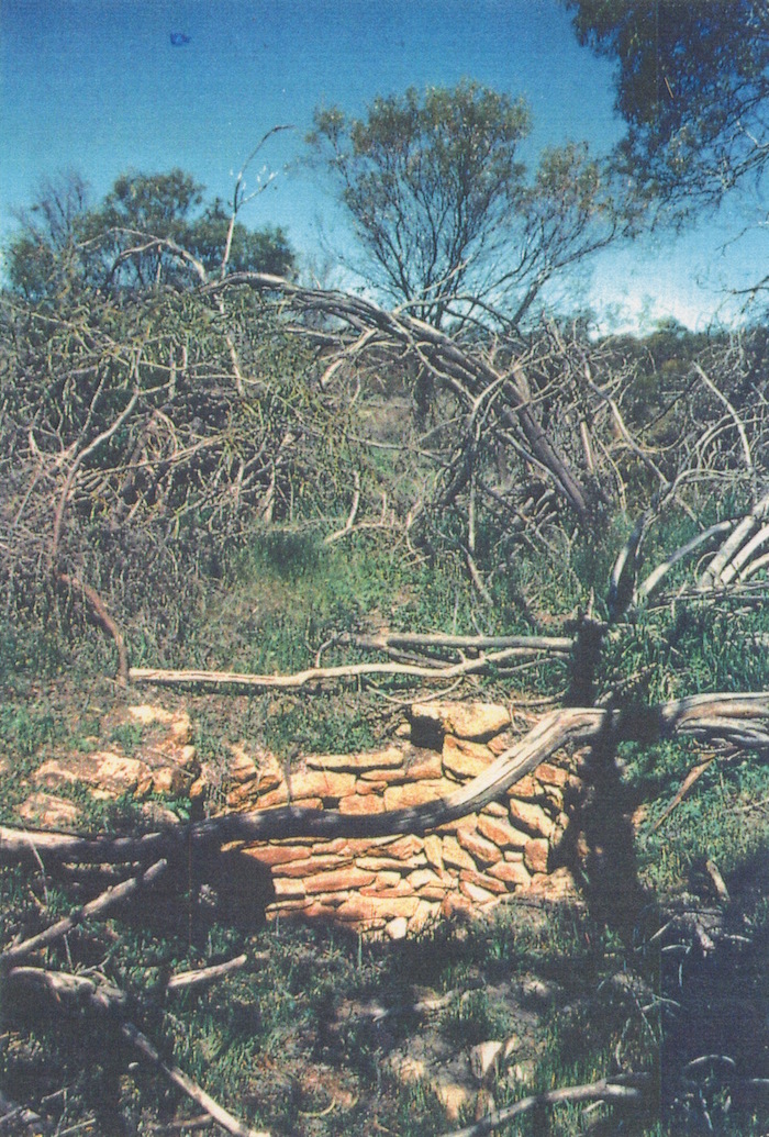
- Burracoppin Well September 1981. Photo by Simon Keane.