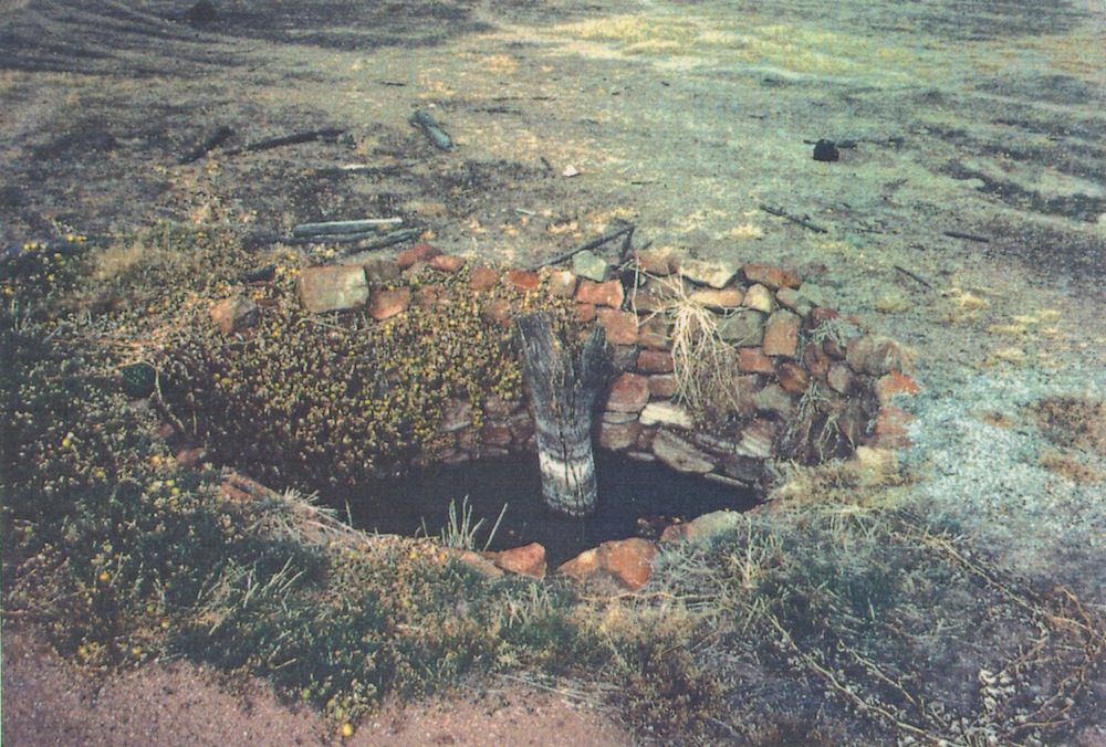
Location
203 kilometres (straight line) from Perth.
142 kilometres along the Hunt Track.
26 kilometres (straight line) from Kellerberrin.
GPS Coordinates
Zone 50J
594663metres East
6497680 metres North
DMS
31°39'7.97"S
117°59'54.34"E
Directions
From the Hunt Track
Condition
History
Hunt improved the native well here:
13 February 1865. Monday. … 3h p.m. halted at Metchering, found the native well quite dry, though I have not before known it fail … small quantity of water on the rocks, it being hot weather, I have set the men to dig out the well by turns during the night.
14 February 1865. Tuesday. Party still engaged sinking the well having gone down about 10 feet during the night without obtaining water, very hard sinking. 7h p.m. self and native start in an eastnortherly direction to find a practicable track towards the next camping place Totadgin. Noon returned to camp having passed over some very good grassy land, from this rock, with another native well, but dry at this time. 2h p.m. discontinued sinking the well, having obtained a few buckets of water on the bottom, which is rock – depth 13 feet 7 in. clear at bottom, 12 at top, the sides being so very hard and compact, I deem it unnecessary to stone it up. I believe that hereafter it will never be without water, …

