Location
185 kilometres (straight line) ENE of Perth.
115 kilometres from York along the Hunt Track.
6 kilometres north-east of Kellerberrin.
GPS Coordinates
UTM
Zone 50J
572395 metres East
16503598 metres North
DMS
31°36'1.30"S
117°45'47.18"E
Directions
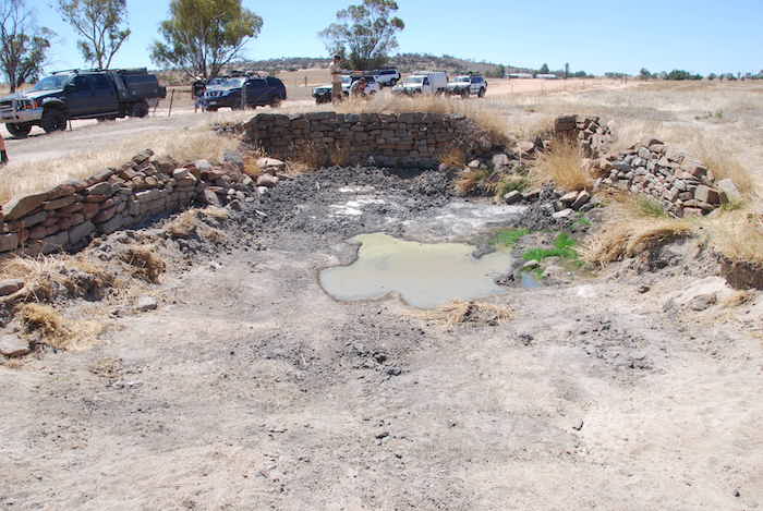
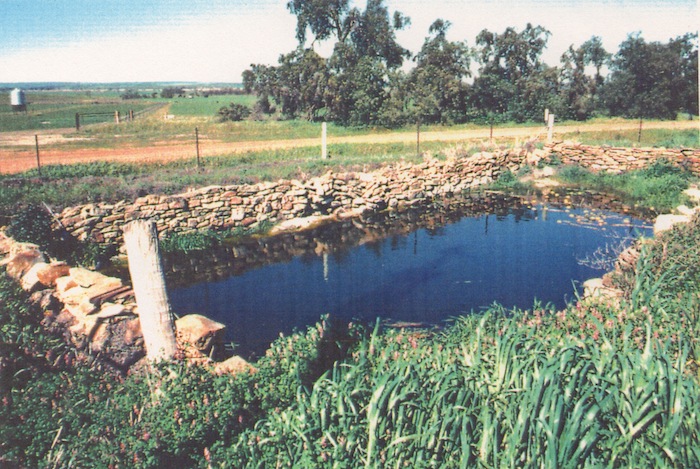
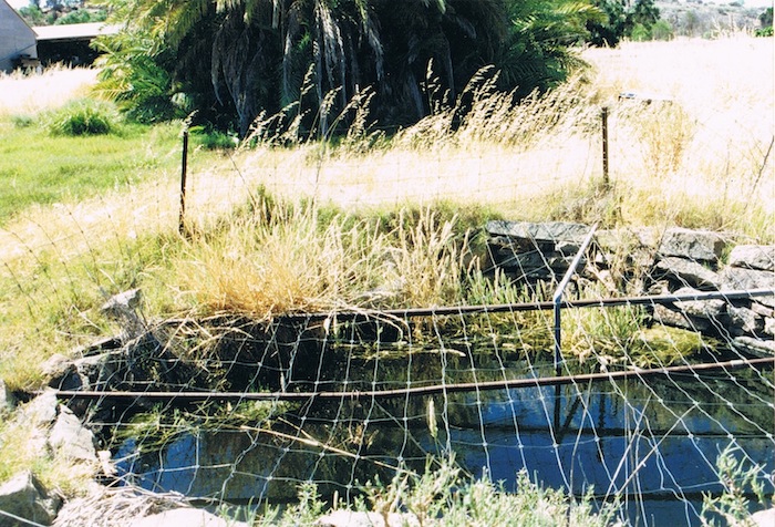
Mooranoppin Well is stone lined on three sides and is more of a large soak than a well. It’s located to the south of Goldfields Road, west of Jureen Rocks and is along a lane between paddocks.
Condition
Maintained by the property owners.
History
On his 1864 Exploration Eastward of York C.C. Hunt recorded the name for this rock in his Fieldbook and on various Exploration Plans as Maranobbing. He also recorded Maranabbing, Marenabing, Maranobbine, Marranobbing Rock and Spring.
At the time Hunt camped at Mooranoppin it was Robert Hardey's sheep station.
In 1871 Alex Forrest recorded Morannupping as the Homestead of Mr Leake and then in 1872 rendered it as Moranupping Spring and Well and Mooranupping Spring.
Their attempts at rendering the aboriginal pronunciation of the word into English eventually resolved to Mooranoppin.
There is no specific evidence in any of Hunt’s diaries that his team developed the native well at Mooranoppin although the amount of time spent there and the number of times it was used as a stopping place when Hunt or the party had to fall back would suggest that it was.


