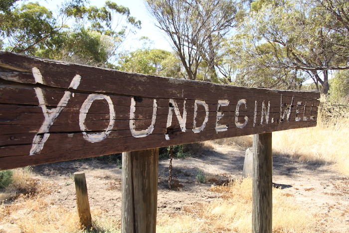
The name for this locality was derived from nearby Youndegin Hill, first recorded by C.C. Hunt in March 1864.
Hunt considered Youndegin to be an important stop and used it regularly. During his 1865 Wells and Tracks Expedition he recorded:
“3 February 1865. Friday.
During the early part of the day, party engaged opening out the spring, which is a good one, and there being an abundance of grass hereabouts, I have deemed it necessary to make a Reserve of it, it being well adapted for a stopping place for teams, proceeding east northerly from York.”
A Police Station was established at Youndegin in 1866 and became an important stop on the road to the east. Its importance increased during the gold rush of the 1890s.